The Magnetism of Fiordland
Fiordland is a magnet to me: profoundly nurturing of the restless spirit and deeply satisfying to the eye. So much so, that I find myself drawn back time and again to drink in the majesty of the landscape — the steep valleys and fiords, snowy peaks, mirror lakes, crystal-clear rivers, thunderous waterfalls and remote wind-swept beaches pounded by the relentless surf of the Tasman Sea.

A ‘Mainlander’ marooned in the North Island of New Zealand, I need regular pilgrimages to my own land to stay sane in the tame, green rolling countryside I now call home. So we — my North Islander husband and I — head south to hike every year, usually in March when the weather is crisp and clear, the crowds have vanished and the hillsides are beginning to catch fire with autumn colours. This year we hiked the Hollyford Track for a second time, not because we had run out of choices but because the region is as rich in history as it is in scenic beauty. For a ‘historyphile’ like me, this is a double blessing.
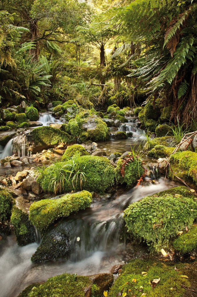
The easy-paced, 43 kilometre Hollyford Track guided walk begins 100 kilometres north of Te Anau and traverses a UNESCO World Heritage site deep in the Fiordland National Park. The largely flat track meanders along a glacier-hewn valley through ancient beech cast vivid green and fern forests, beside a startlingly clear Hollyford River.
We reach the track’s highest point at Little Homer Saddle (168 metres above sea level) on the first day. It is resonant with the voices of early Māori, ancestors of the present-day Ngai Tahu tribe, who purchased the guided walk business in 2003. Māori first established a coastal village at Martins Bay between 1650 and 1800, gathering abundant food from the sea, lakes, rivers and forests, guarding the highly-prized pounamu (greenstone or jade) and trading routes of the region, and building waka (canoes) from the giant trees of the forests.
The magnificent Mt Tutoko, a backdrop to the Hollyford Valley, is named after an important Māori chief who lived at Martins Bay. The tallest peak in Fiordland at 2746 metres, Mt Tutoko is one of the Darran Mountains, which served as practice climbs for Sir Edmund Hillary before his successful attempt at Everest in 1953. Composed of hard granite and gneiss, the range is excellent for mountaineering.
Chief Tutoko, his wife and two daughters were the first Māori that gold prospectors Captain Alabaster and Skipper Duncan came across in the area when they arrived in 1863. They were startled when the chief greeted them wearing a full American Civil War uniform, possibly acquired from an American sealing or whaling vessel operating in the area. Far from being ‘dangerous savages’ as the settlers had been led to believe, Chief Tutoko and his family were extremely obliging and hospitable, and loaned a waka to the men, who paddled up the lower Hollyford River to Lake McKerrow… but found no gold.
Hollyford Track guide Kahurangi Mahuika, a direct descendant of Chief Tutoko, says walking daily in his ancestor’s footsteps is a spiritual journey, re-enacting the role played by Māori who were guides to early European explorers long ago. “This is my spiritual home,” says Kahurangi. “Chief Tutoko was the last major chief to live at Martins Bay, protecting the Hollyford Valley. He is my tipuna, my ancestor, so guiding groups on the Hollyford has deep significance for me,” he explains. “I want to share my knowledge of this special place with all people, especially Ngai Tahu youth and family, so they can have a better understanding of where our people come from.”
The friendly smiles of our Pyke Lodge hosts are a welcome sight at the end of our 20 kilometre hike on day one. After refreshments and hot showers, we are treated to elegant canapés and fine New Zealand wines beside a roaring fire, followed by succulent venison, and passionfruit cheesecake. Later in the evening, we follow our gumbooted guide to the river, where we watch him feed a seething mass of huge, voracious eels. We then visit tiny glow-worms whose lights are so bright they compete with the star-studded canopy above us.

The second day starts with an easy walk to Lake Alabaster, a mirror lake where wisps of mist veil the dark, bush-clad mountains. The lake was an important place for Māori, who used it as a waka-building centre. They felled logs into the lake, cut off the branches and spun them in the water for several weeks until they were water-logged and achieved a natural equilibrium. The logs were then taken across Lake McKerrow to a village where they were hollowed out and fitted with outriggers and sails. The vessels were fast; Captain Cook recorded a waka paddled by four Māori men passed his cutter at an astounding rate.
We cross the Pyke River on Fiordland’s longest swing bridge to view the start of the infamous Demon Trail, which we happily bypass by jetboat, whizzing 24 kilometres down the rapids of the Upper Hollyford River and along Lake McKerrow to historic Jamestown. Standing by a small plaque at the centre of where the ill-planned settlement once stood, guide Graeme Scott explains that Jamestown, founded in 1870, was supposed to become the capital of the South Island. He tells us heart-breaking stories of the early European pioneers who led harsh lives in this most remote of outposts and the promised supply ships that sank or bypassed Jamestown due to foul weather and the treacherous Hollyford bar.
We also hear about the legendary Davey Gunn, who began guiding guests through the valley on horseback as part of his cattle musters in the 1930s. Davey became a hero on December 30, 1936, when a light plane crashed into the sea at Big Bay, injuring the pilot and five passengers, one of whom died soon afterwards. Davey rowed and ran for 20 hours to fetch help, a 90 kilometre trek that would normally have taken 4 days. He was awarded the Coronation Medal for his heroic deed. Davey died tragically on Christmas Day 1955 crossing the Hollyford River while on horseback with a 12-year-old boy. The horse stumbled and both riders were drowned. His body was never found.
Apart from a wealth of history, we also learn about the traditional usage and medicinal properties of many plants along the way. The koromiko or hebe is an extraordinary plant used by Māori to treat many ailments, including diarrhoea and vomiting. During World War One, soldiers chewed the leaves to combat dysentery, and because it burns very hot, pre-European hunters used the wood to cook the extinct moa — a giant, flightless bird similar to the emu and cassowary.
A useful plant to have dotted around a sandfly haven like Martins Bay is the native flax which produces a black jelly at its base that can be used as an effective remedy for insect bites, heat rash, blisters and gashes. Māori also used flax fronds to make roofing, flooring, clothing and woven baskets. The humble cabbage tree or native cordyline is often found at old Māori camp sites — the leaves were used to make moccasins and the tap root was cooked as a source of protein and sugar. Finally, Māori used the fungi found on dead trees as fire-starters, taking the smouldering fungi in a basket or kete from one campsite to the next.
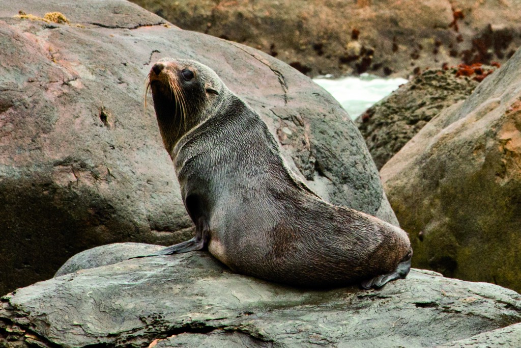
Late on day two, we emerge at Martins Bay from the podocarp forest of giant rimu, totara, kahikatea and rata, to the deafening sound of the Tasman Sea smashing against the rocks and sand of the wild West Coast beach. A colony of fur seals and the rare Fiordland crested penguin inhabit Long Reef, a sequence of exposed headlands at the northern end of the bay. The big-eyed seal pups are exceptionally photogenic as they play in the sheltered rock pools while their parents are away deep-sea fishing for dinner. As the sun slips towards the watery horizon in a blaze of celestial fire, luxury awaits us at Martins Bay Lodge, where our party of nine share wine, hors d’oeuvres and animated conversation by the fire before feasting on delicious hot-smoked salmon and the best brownie I have ever tasted.

Our last day is spent at Martins Bay Spit, exploring the 8-kilometre stretch of granite sand beach and surreal, storm-blasted sand dunes. We see evidence of Māori fire sites, umu (earth ovens), and middens (rubbish dumps) dating back hundreds of years. In ancient times, the kilometre-high glacier that carved the Hollyford Valley stretched 10 kilometres out to sea from where we stand. The area had been subjected to extraordinarily violent weather, and possibly a tsunami in the 1700s. The grand finale is a breathtaking helicopter flight from Martins Bay Lodge down the rugged West Coast and up the whole length of Milford Sound, passing close by world-famous Mitre Peak and the Stirling, and Bowen Falls.
I am left with a wealth of images, memories and local knowledge which settle into my consciousness: a reservoir for me to draw on when I return to my other, northern home. I will remember the manaakitanga, the hospitality, which filters down from the owners of the Hollyford Track. As Ngai Tahu Tourism Chief Executive Officer Quinton Hall explains, “Manaakitanga is the core value that drives the way we do business. It is more than just being an excellent host — it’s also about establishing the responsibilities of the host and implies guardianship of the manuhiri (visitors), whenua (land), taonga (treasures), and tangata (the people).” Ngāi Tahu Tourism are fitting caretakers of this pristine place, and we are privileged to walk in their footsteps.
Visit www.hollyfordtrack.com
