Photography that explains a place
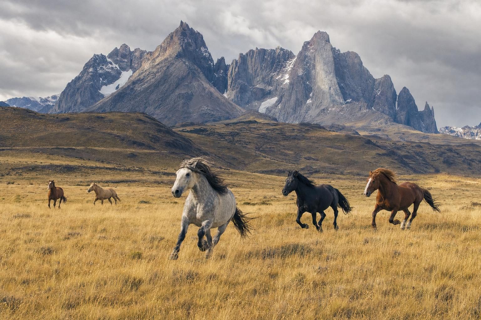
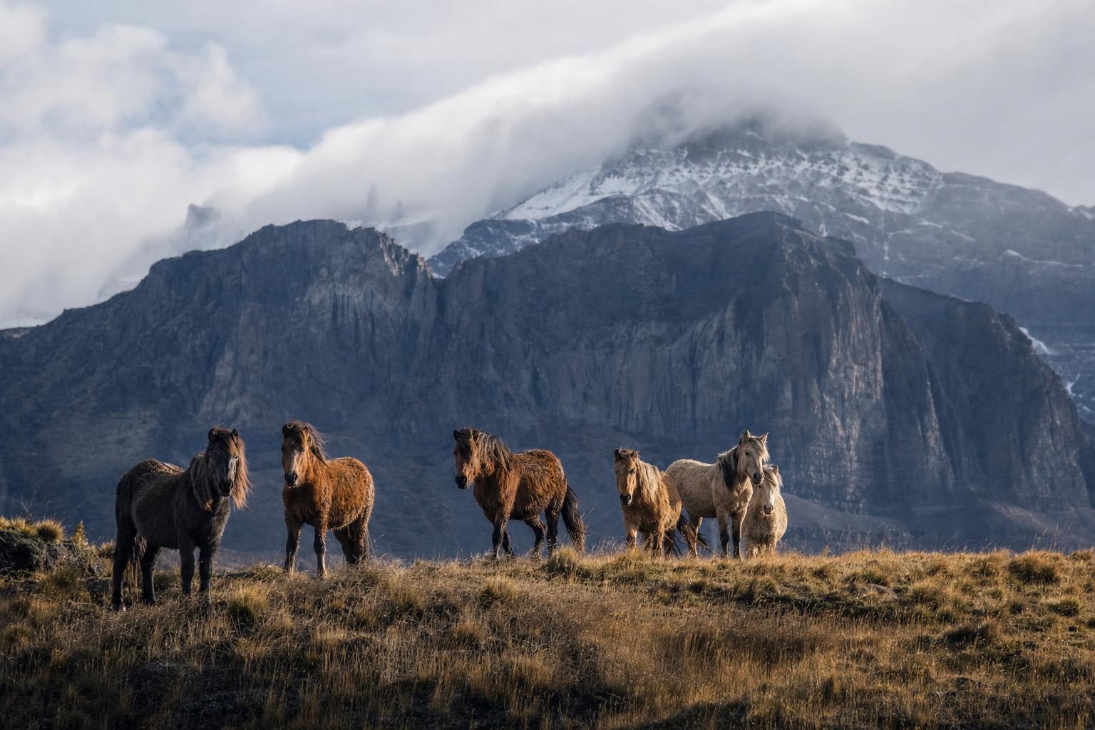
The photography section is about looking at a place long enough to understand it. Features cover the world’s hottest and coldest places, from Death Valley and the Danakil Depression to the East Antarctic plateau; the dark-sky reserves where the Milky Way still casts a shadow; the last free-roaming horses of Patagonia; and the highland shows of Papua New Guinea.
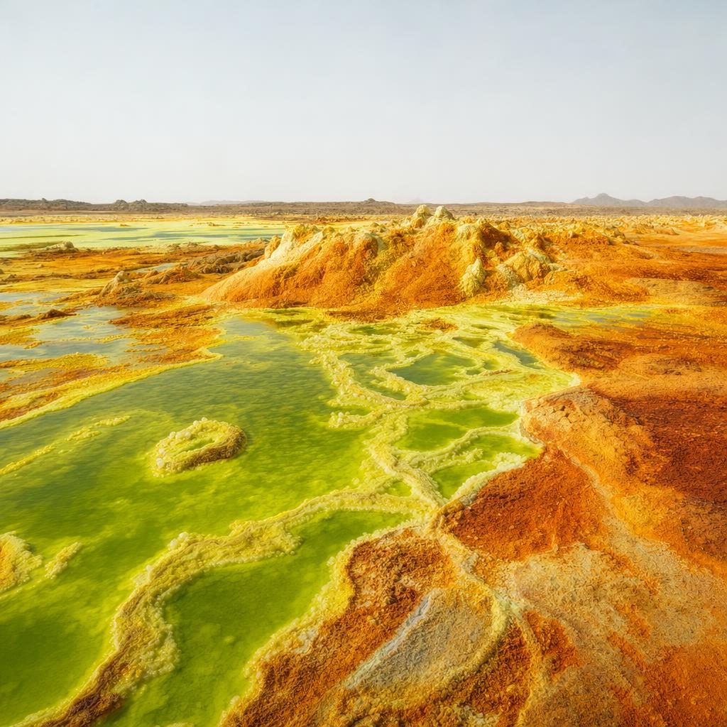
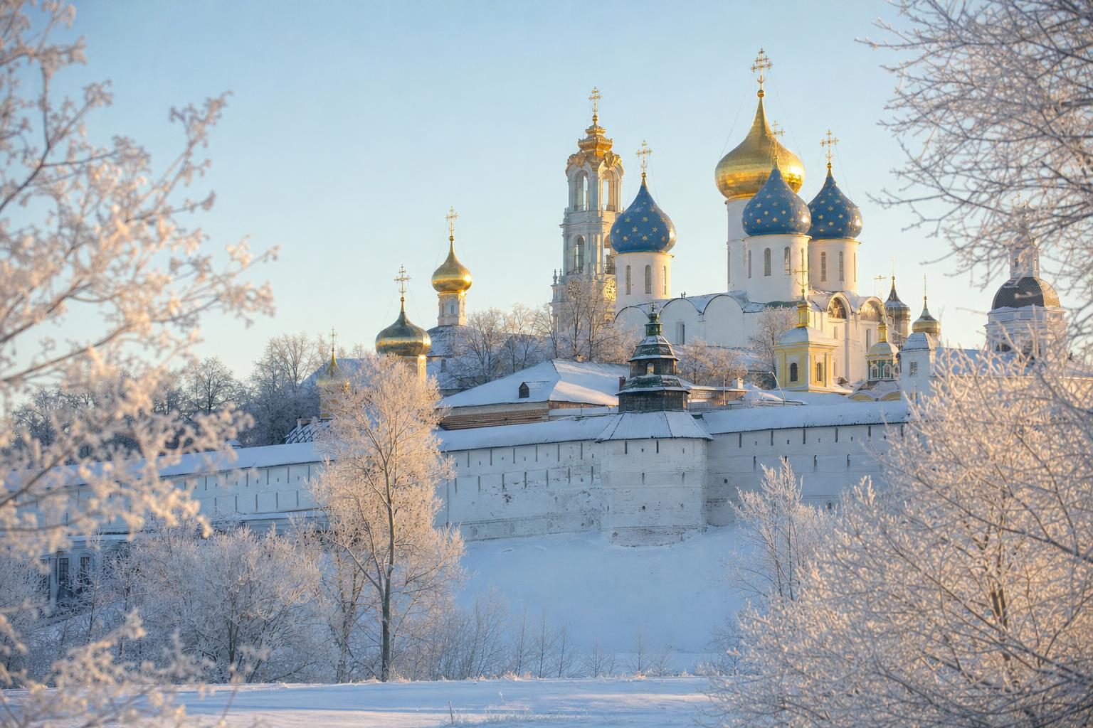
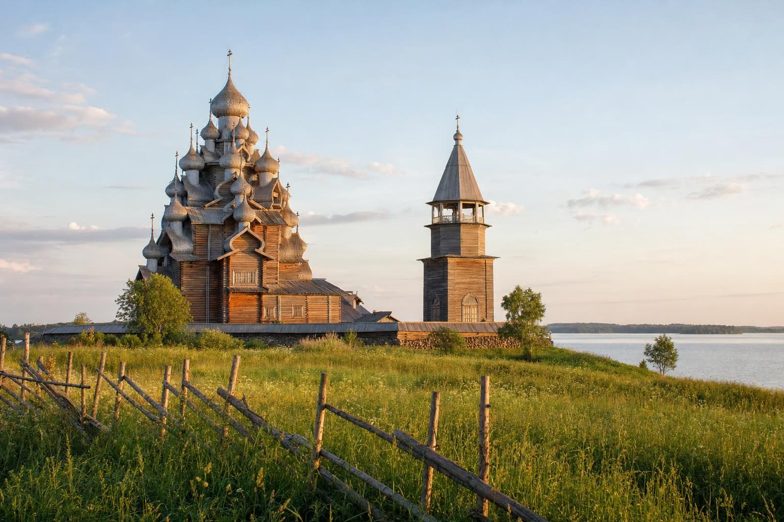
Each feature explains what makes the place photogenic in the first place: the altitude and dry air of the Atacama, the low winter sun over Russian wooden churches, the salt and sulphur colours of Dallol.
Light, season and where to stand
Alongside the story, each piece notes the practical side of making pictures there: the months with the clearest skies, the hour when the light reaches a valley floor, the rules on drones or tripods in national parks, and how to photograph people respectfully when a festival or market is the subject.
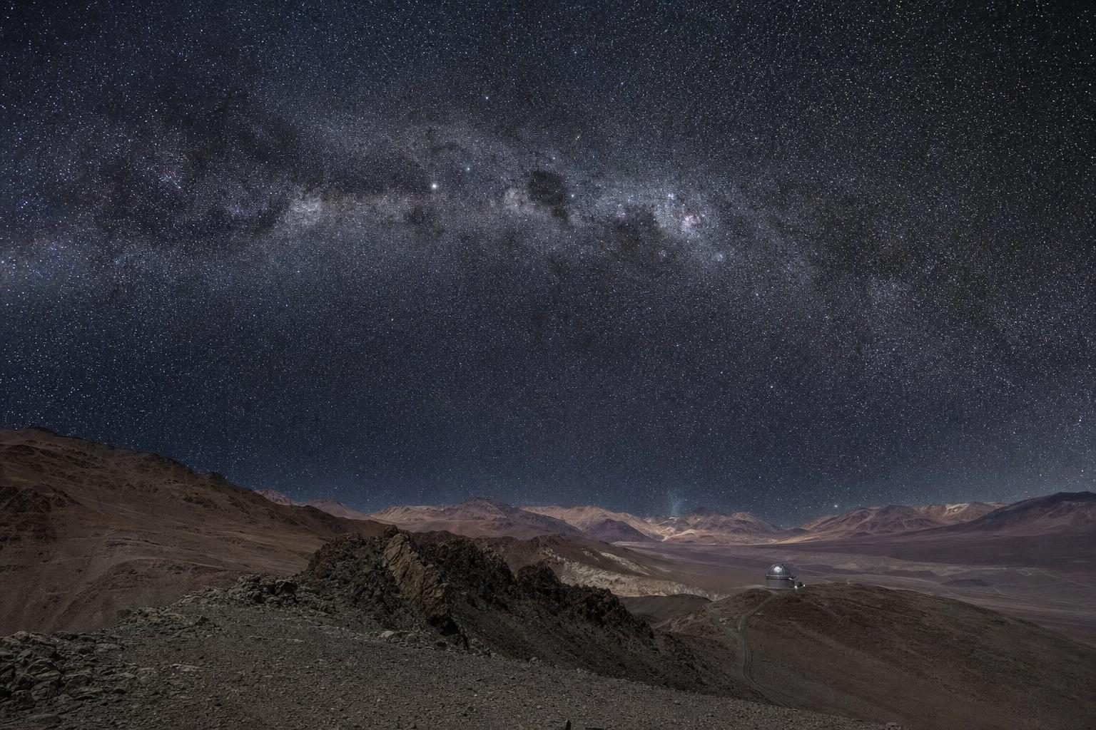
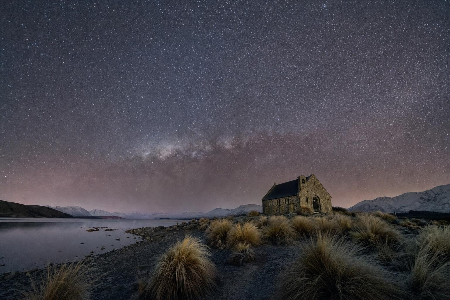
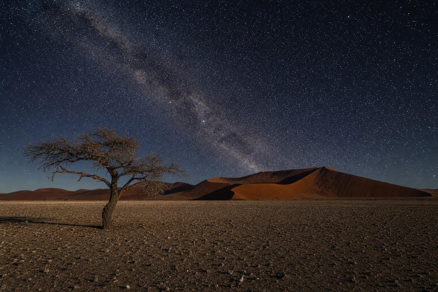
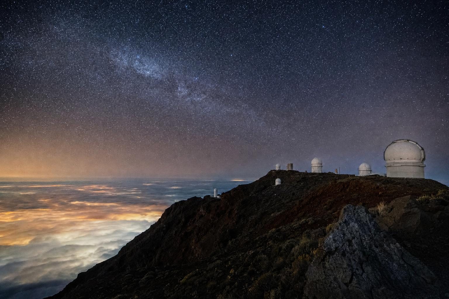
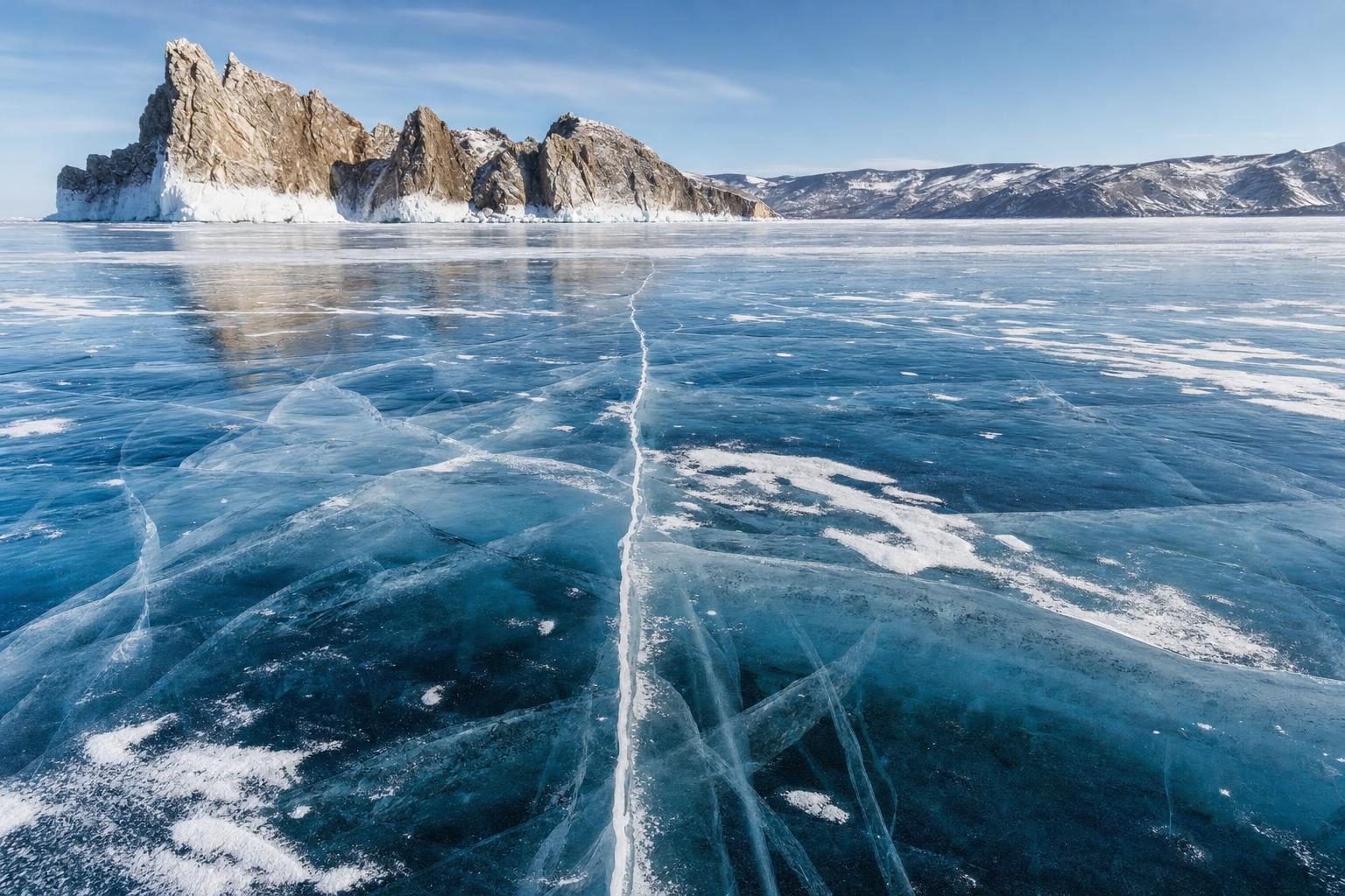
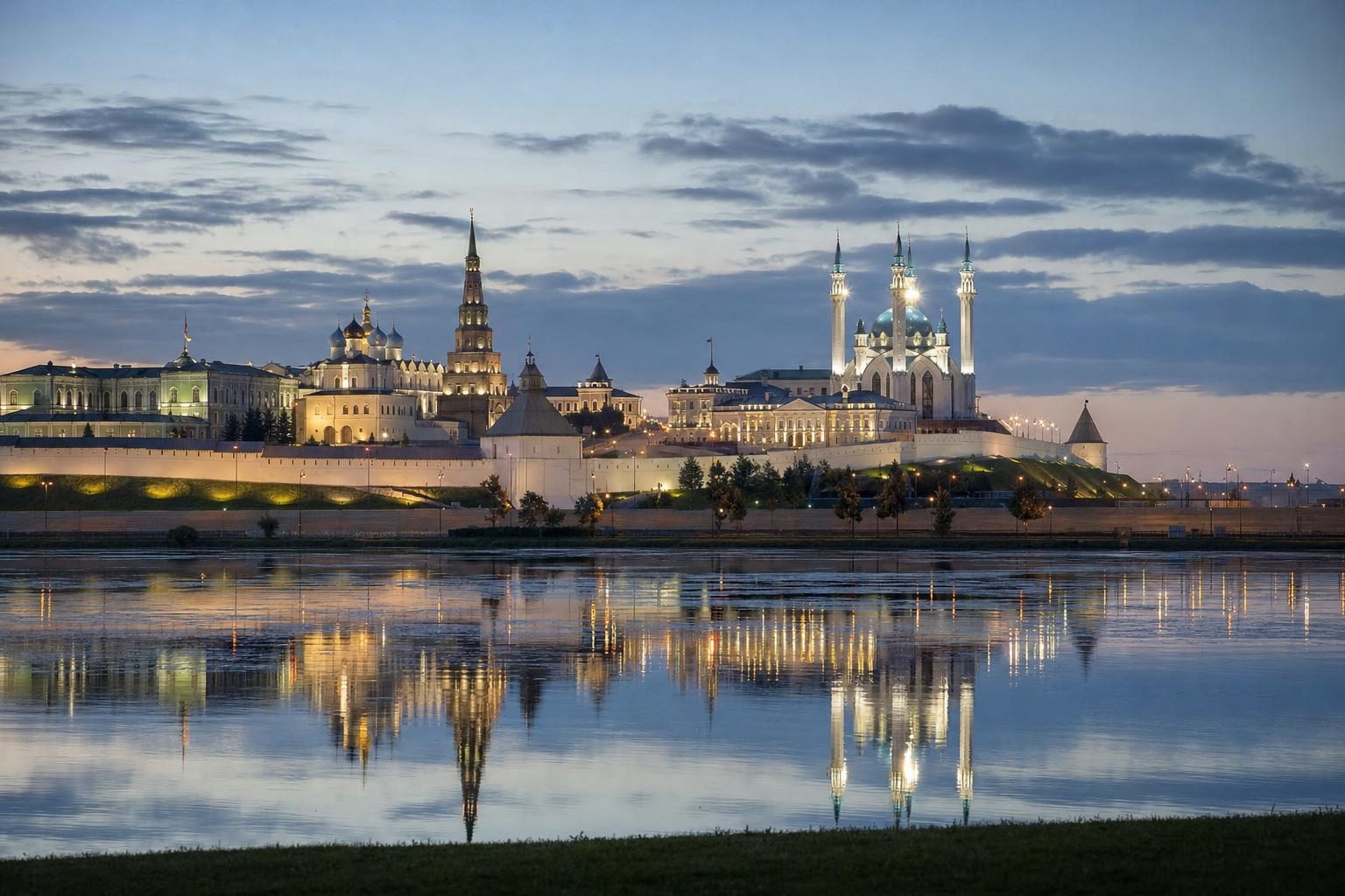
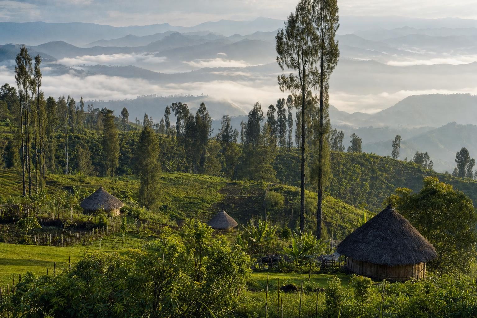
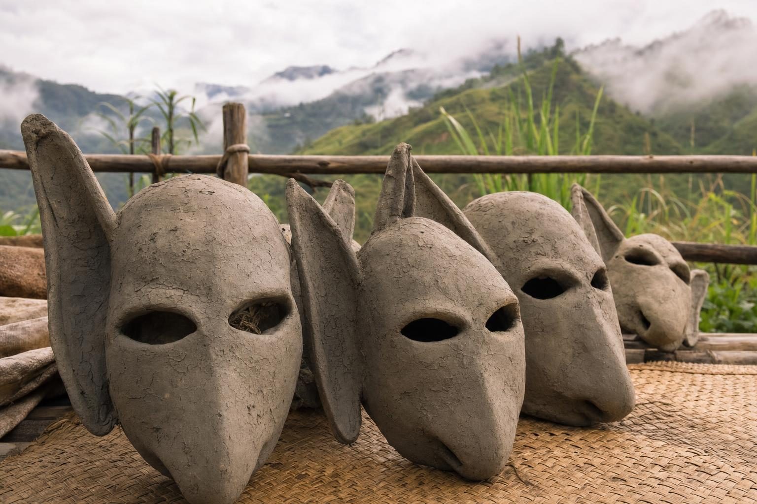
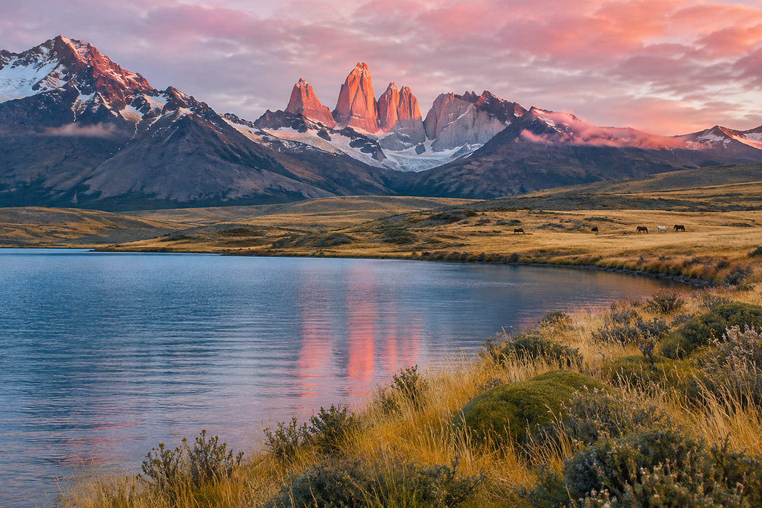
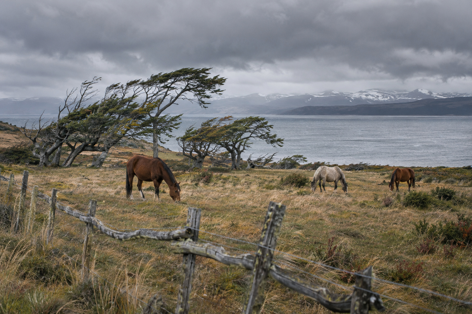
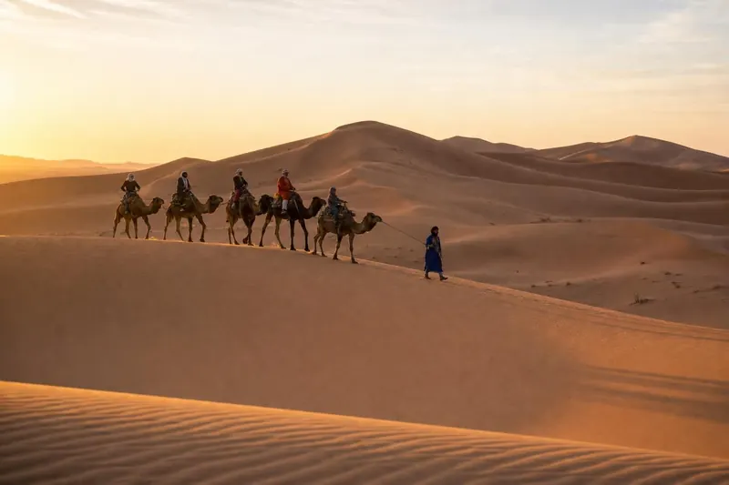
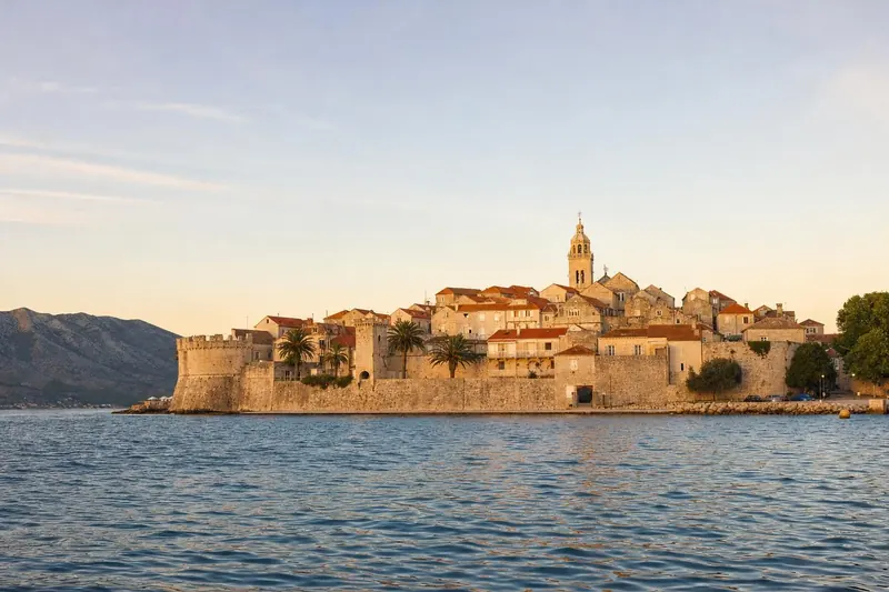
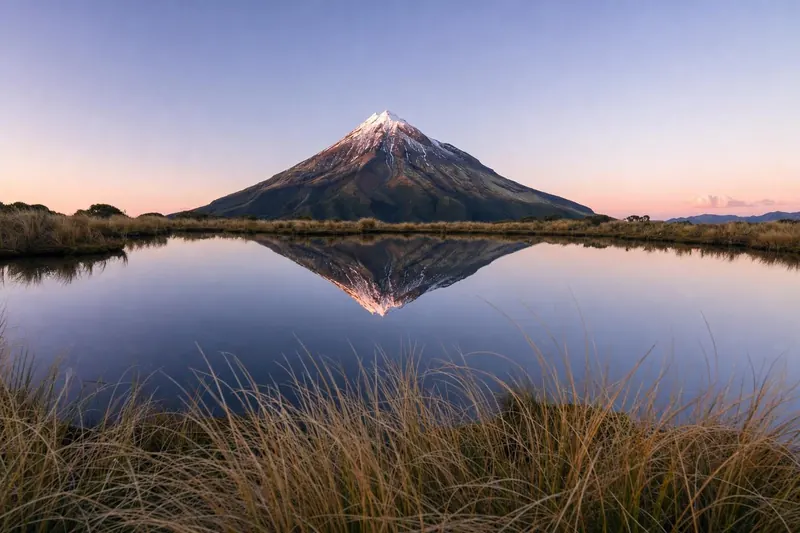
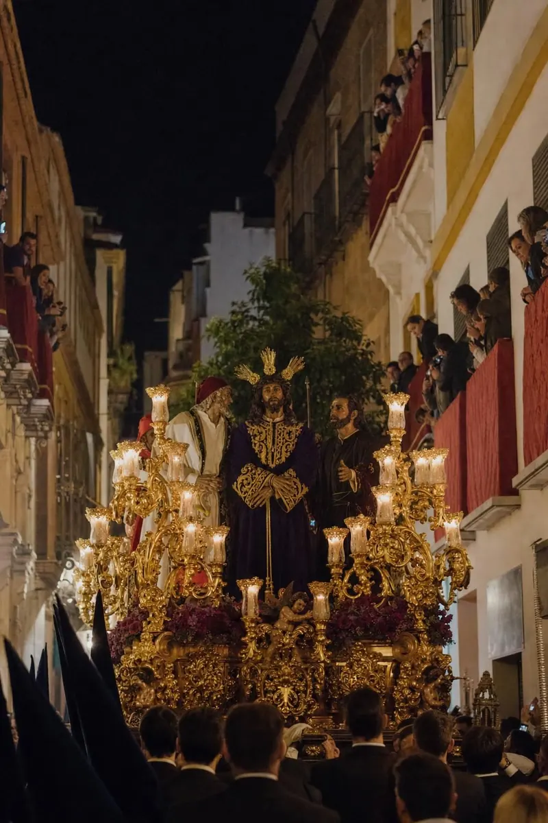
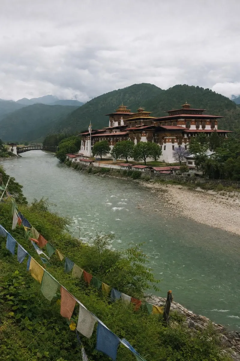
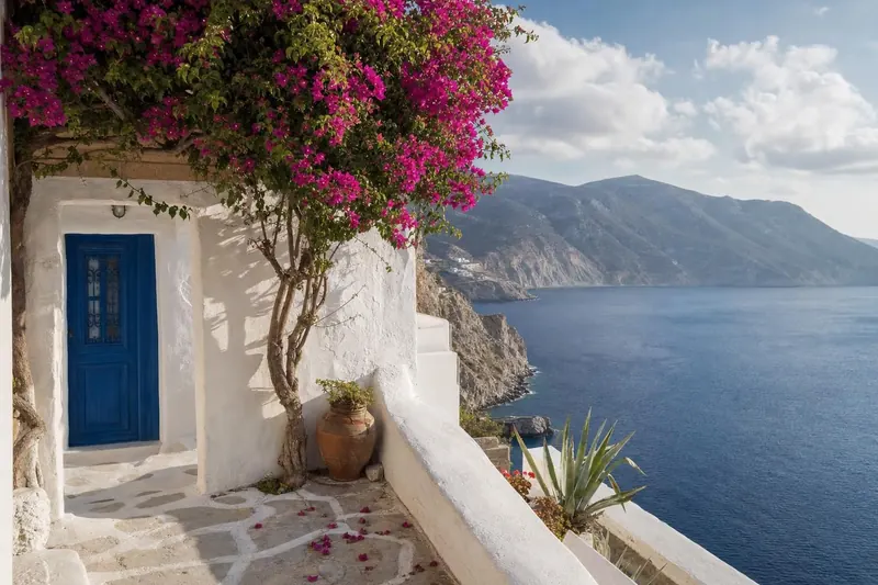
The images that illustrate the section are AI-generated and labelled on the picture itself. They show what a place looks like in a given season and light; they are not records of a particular day.
Responsible photography on the road
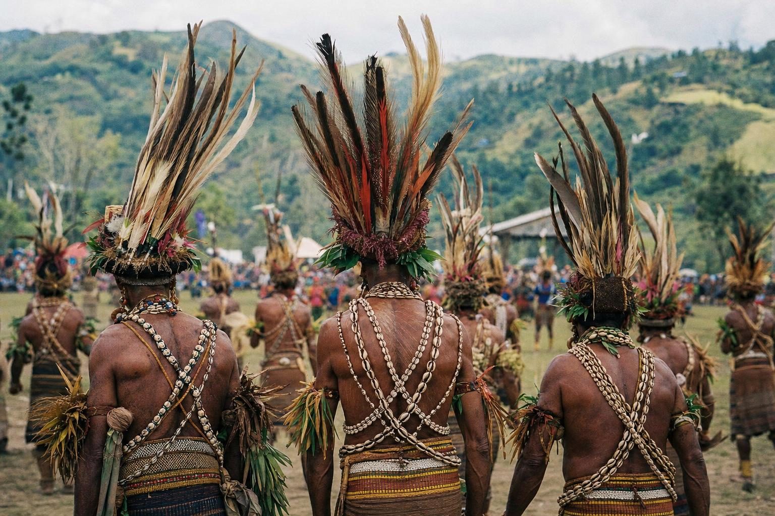
Several features cover places where a camera needs care. At highland shows and festivals, performers often expect to be asked before a close portrait, and some may ask for a small payment. Sacred sites such as monasteries in Bhutan or mosques in Kazan have their own rules on photography inside. Drones are banned or restricted in most national parks, including Death Valley and the protected areas of the Atacama, and dark-sky reserves ask visitors to keep white light to a minimum after dusk. The features point these rules out so that a good picture does not come at the expense of the place or the people in it.
Captions and figure notes give the place, the season and, where it helps, the time of day. When a feature mentions a record or a measurement, such as the 56.7 °C reading at Furnace Creek or the −89.2 °C at Vostok station, it names the body that recorded it and notes where scientists still disagree. Figures that are estimates, such as the number of wild horses in a Patagonian herd, are presented as estimates with their source.
Where the photography features go
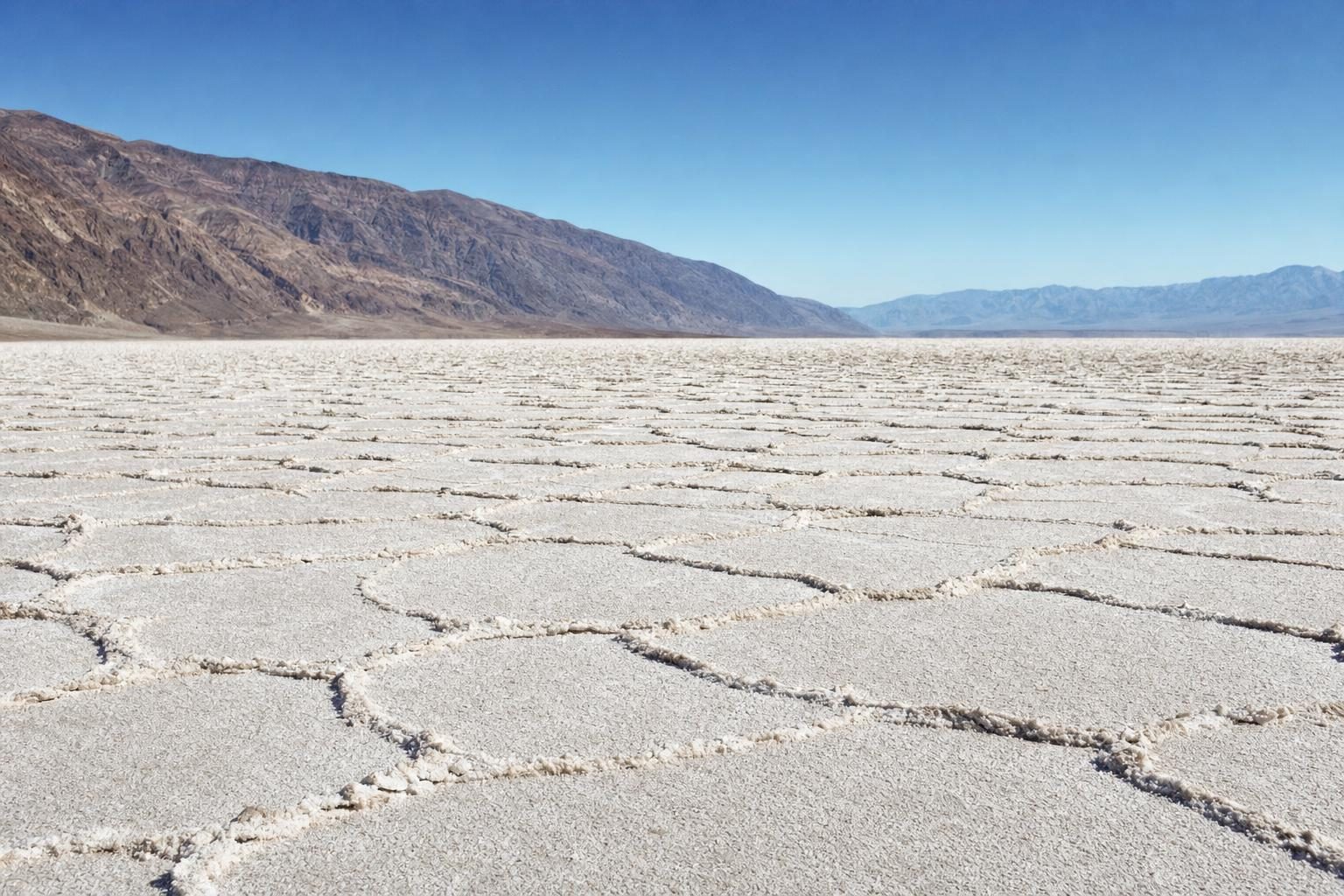
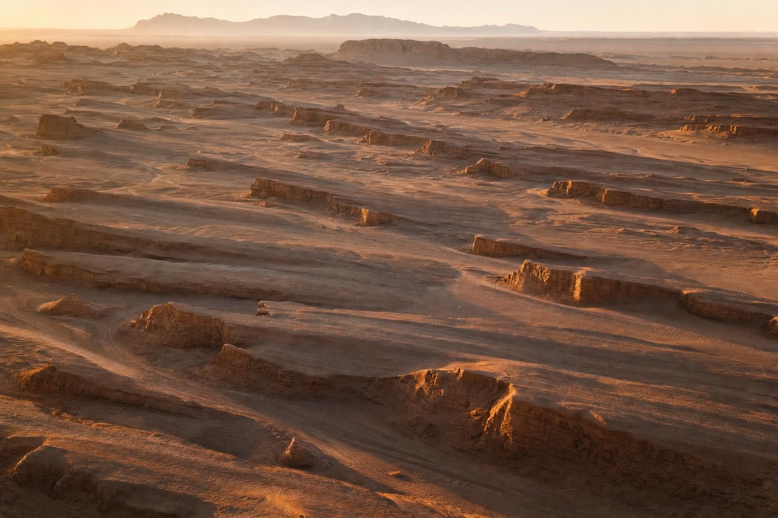
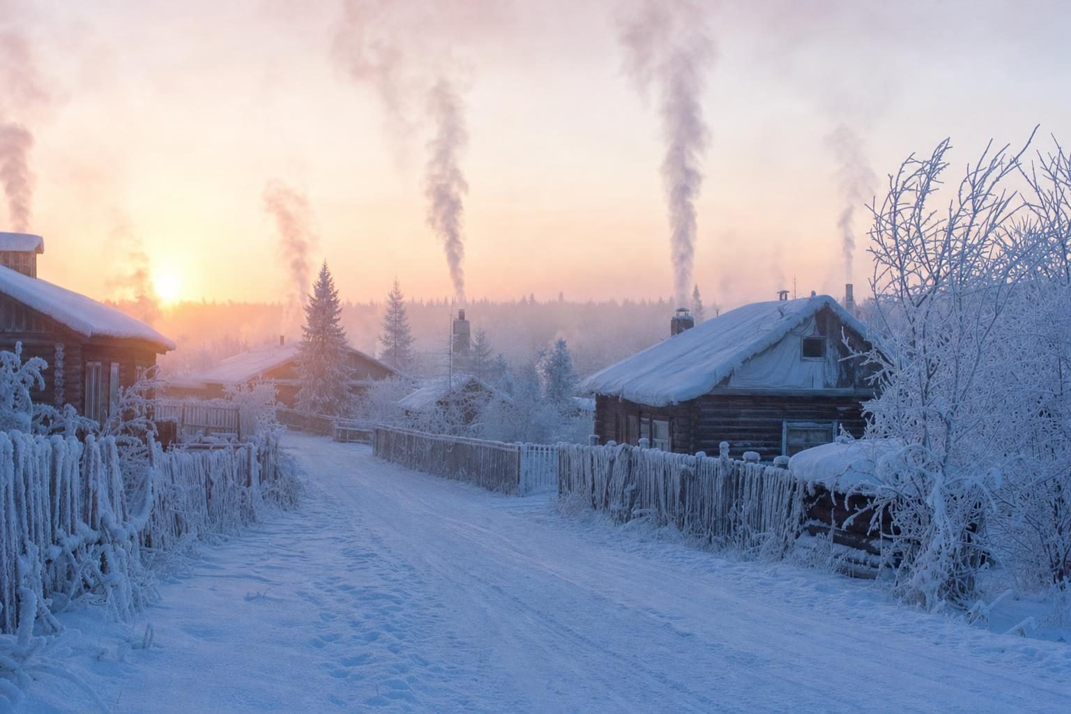
Some features are built around extremes. The hottest and coldest places on Earth piece compares the disputed Death Valley record with the readings from Vostok station and the satellite measurements on the East Antarctic plateau, and explains why surface temperatures in Iran’s Lut Desert are measured differently from air temperatures. The stargazing feature compares five dark-sky places on four continents, from the high, dry Atacama to the Aoraki Mackenzie reserve in New Zealand.
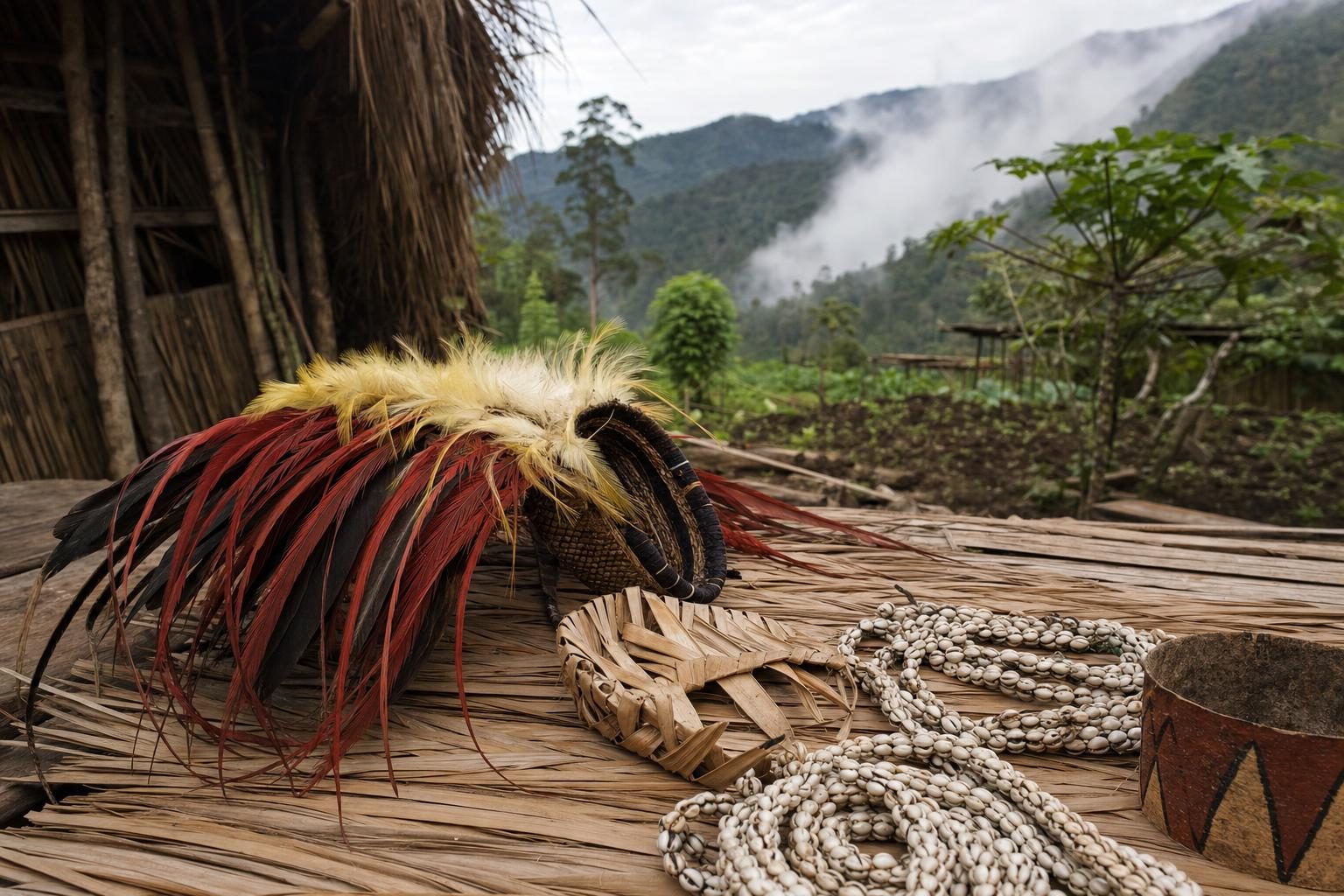
Others are about people and culture as much as landscape: the highland shows of Papua New Guinea, where groups from across the region gather in costume, and the wooden churches, kremlins and onion domes that run from Moscow to Karelia and Kazan. Each one sets the pictures in context, with history, geography and the practical limits on travel today.