Greece · Travel guide
Dodecanese Islands and the Northeast Aegean, Island by Island
Along the Turkish coast, Greece's eastern islands mix crusader walls, volcanic craters, mastic orchards and some of the quietest harbours in the Aegean.
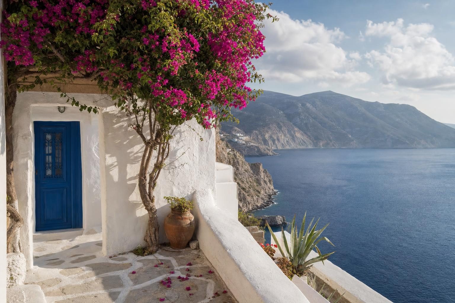
From the harbour walls of Rhodes town on a clear evening, the mountains of Turkey look close enough to swim to. They nearly are: the Dodecanese islands sit along the Anatolian coast, and several of them are nearer to Turkish beaches than to any Greek port. North of them, the Northeast Aegean islands continue the same line up towards Thrace. Together they make the eastern edge of Greece, and they are less uniform than the Cyclades to the west: medieval walls in one harbour, a smoking crater on the next island, orchards of resin trees further north.
This route runs south to north, roughly the way the ferries do.
Plan your visit
- Getting there
- Fly to Rhodes, Kos, Samos, Chios, Lesvos or Lemnos from Athens, and in summer from many European airports More
- Getting around
- Catamarans along the Dodecanese chain between Rhodes and Patmos; ferry to Samothrace from Alexandroupoli More
- Season
- May, June and September; July and August are hot and busy, and the meltemi can cancel small boats More
Rhodes, where the Dodecanese islands begin
Rhodes is the largest of the Dodecanese islands and the one with the most flights. Its old town is among the best-preserved medieval cities in Europe and has been on the UNESCO World Heritage List since 1988. The Knights of St John ruled from here between the early fourteenth century and 1522, and their walls still circle the town for several kilometres. The Street of the Knights runs uphill in straight grey stone to the Palace of the Grand Master, which was rebuilt in the 1930s under Italian rule. Italy held the whole group from 1912 until the Second World War, and the islands were united with Greece only in 1948, so Italian public buildings and planned streets appear across the group.
Lindos, on the east coast, combines a whitewashed village with an acropolis high on the rock above it. The south of the island is flatter and windier, and at Prasonisi, where a sandbar joins a small cape to the mainland of Rhodes, kitesurfers ride the flat water on one side and the waves on the other.
A detour inland leads to Petaloudes, the Valley of the Butterflies. The name is a small misnomer: the insects that gather on the tree trunks there in summer are Jersey tiger moths, drawn by the resin of the oriental sweetgum trees. They rest by day, and visitors are asked not to clap or shout to make them fly, because each flight burns energy they need.
Symi, Nisyros, Kos and Kalymnos
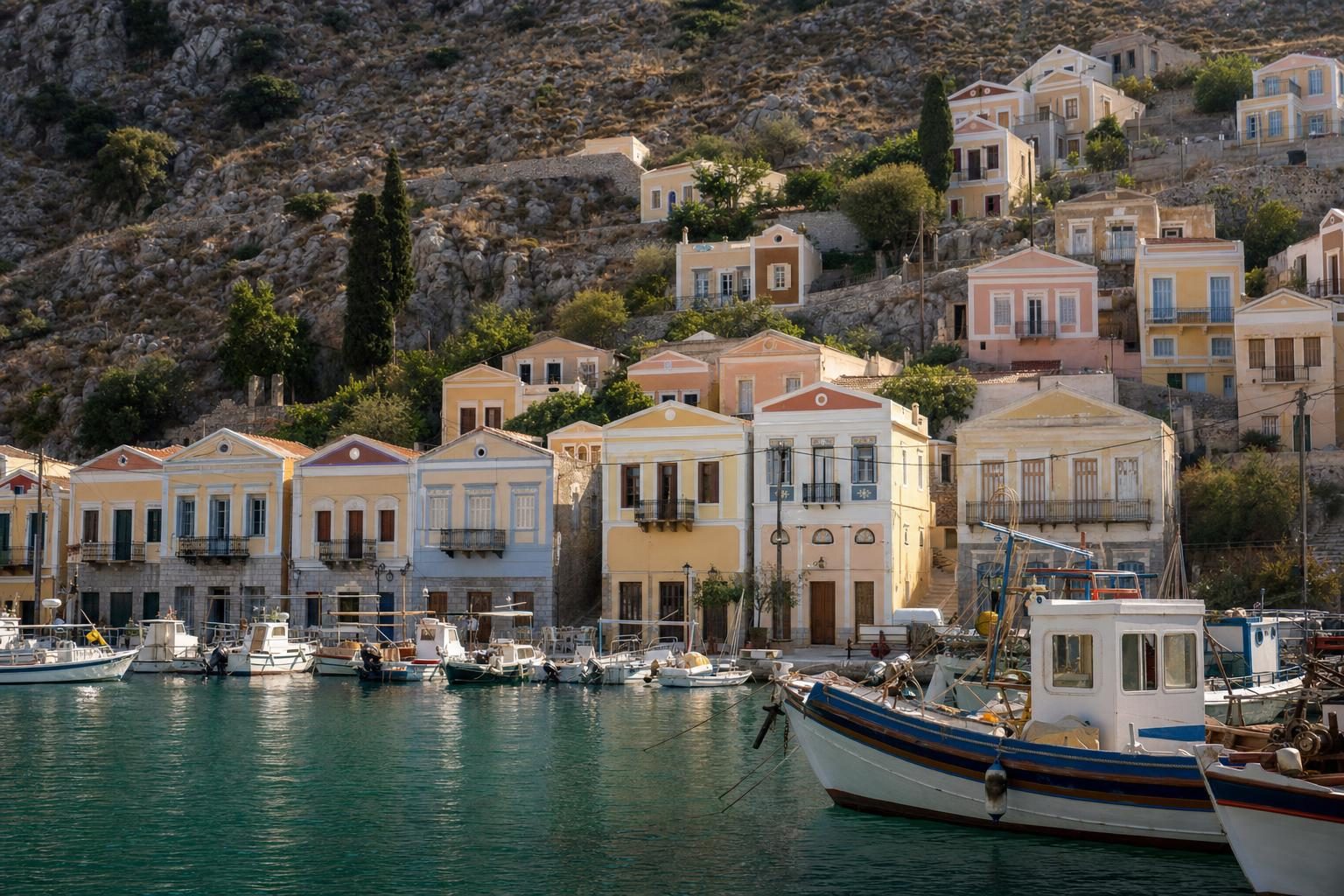
Symi is a short boat ride from Rhodes, and its harbour, Gialos, is a bowl of pastel neoclassical houses stacked up the slopes, built when the island grew rich from sponge diving and boatbuilding. On the far side of the island stands the monastery of Panormitis, a major pilgrimage site for sailors.
Nisyros is a volcano with a village or two around its rim. The crater floor of Stefanos, inside a broad caldera, can be walked across on a path that smells of sulphur, with small vents hissing at its edges. Mandraki, the harbour village, is tidy and whitewashed, and Nikia sits high on the caldera edge with a view straight into it. Its beaches are of dark pebbles and black sand.
Kos, next door, is flat and busy, with cycle paths and long beaches. Its sight of note is the Asklepion, a terraced healing sanctuary on a hillside outside town, linked by tradition with Hippocrates, who was born on the island. In the town centre an ancient plane tree, propped on supports, is known as the tree of Hippocrates, though it is far younger than he is. To the west, Astypalea looks like a stray from the Cyclades, with a whitewashed Chora and a Venetian castle on its crest.
Kalymnos is the island of sponge divers. For much of the nineteenth and twentieth centuries its men sailed to the coasts of North Africa for months to dive for sponges, and the trade’s history is on show in museums and sponge shops around Pothia, the main port. Since the late 1990s the island has also become a destination for rock climbers, with well over a thousand bolted routes on limestone cliffs above the west coast. Across a narrow channel lies Telendos, reached by small boat from Myrties, with no cars and a handful of tavernas.
| Island | Character | Sight of note |
|---|---|---|
| Symi | Pastel neoclassical houses stacked above Gialos harbour | Monastery of Panormitis |
| Nisyros | A volcano with villages around its rim; dark pebble and black sand beaches | The Stefanos crater floor |
| Kos | Flat and busy, with cycle paths and long beaches | The Asklepion |
| Kalymnos | The island of sponge divers | Well over a thousand bolted climbing routes |
Patmos and the small islands to the north
Patmos has a different atmosphere from the rest of the Dodecanese islands. Christian tradition holds that John wrote the Book of Revelation here, in a cave now enclosed by a small chapel. Above it, the Monastery of St John the Theologian, founded in 1088, rises like a fortress over the white houses of Chora. The monastery, the cave and the old town were listed together by UNESCO in 1999. Holy Week is the most important time of year here, and the services at the monastery draw visitors and pilgrims from across Greece and beyond, part of a long history of pilgrimage in the eastern Mediterranean.
North of Patmos, Lipsi, Arki and Agathonisi are among the smallest inhabited islands in Greece. Arki is the largest of a scatter of islets with only a few dozen residents. Agathonisi covers about 14 square kilometres and is a stopping point for migrating birds, protected under the Natura 2000 network. Out of season, the only traffic in these harbours is a fishing boat and the island’s supply ferry.
Karpathos, the outlier in the south
Karpathos lies between Rhodes and Crete and is easy to overlook. Its north is mountainous, and Olympos, a village on a ridge, keeps a strong local dialect, dress and festival culture; on feast days, older women still wear embroidered traditional costume. The island is one of the windiest in the Aegean, which makes Afiartis on the south coast a windsurfing centre. Its neighbour Kasos is even quieter.
Into the Northeast Aegean islands
North of the Dodecanese, the Northeast Aegean islands are larger, greener and less visited. They have mountains, forests and farming villages, and many of their visitors are Greek. Ferry links to the Dodecanese exist but are not frequent, and timetables change between summer and winter.
Samos and Ikaria
Samos is fertile and mountainous, with vineyards that produce a sweet muscat wine. The town of Pythagoreio, named after the mathematician born on the island, and the nearby sanctuary of Hera were listed by UNESCO in 1992. Close by is the Tunnel of Eupalinos, a sixth-century BC aqueduct more than a kilometre long, dug from both ends at once and meeting in the middle with remarkable accuracy.
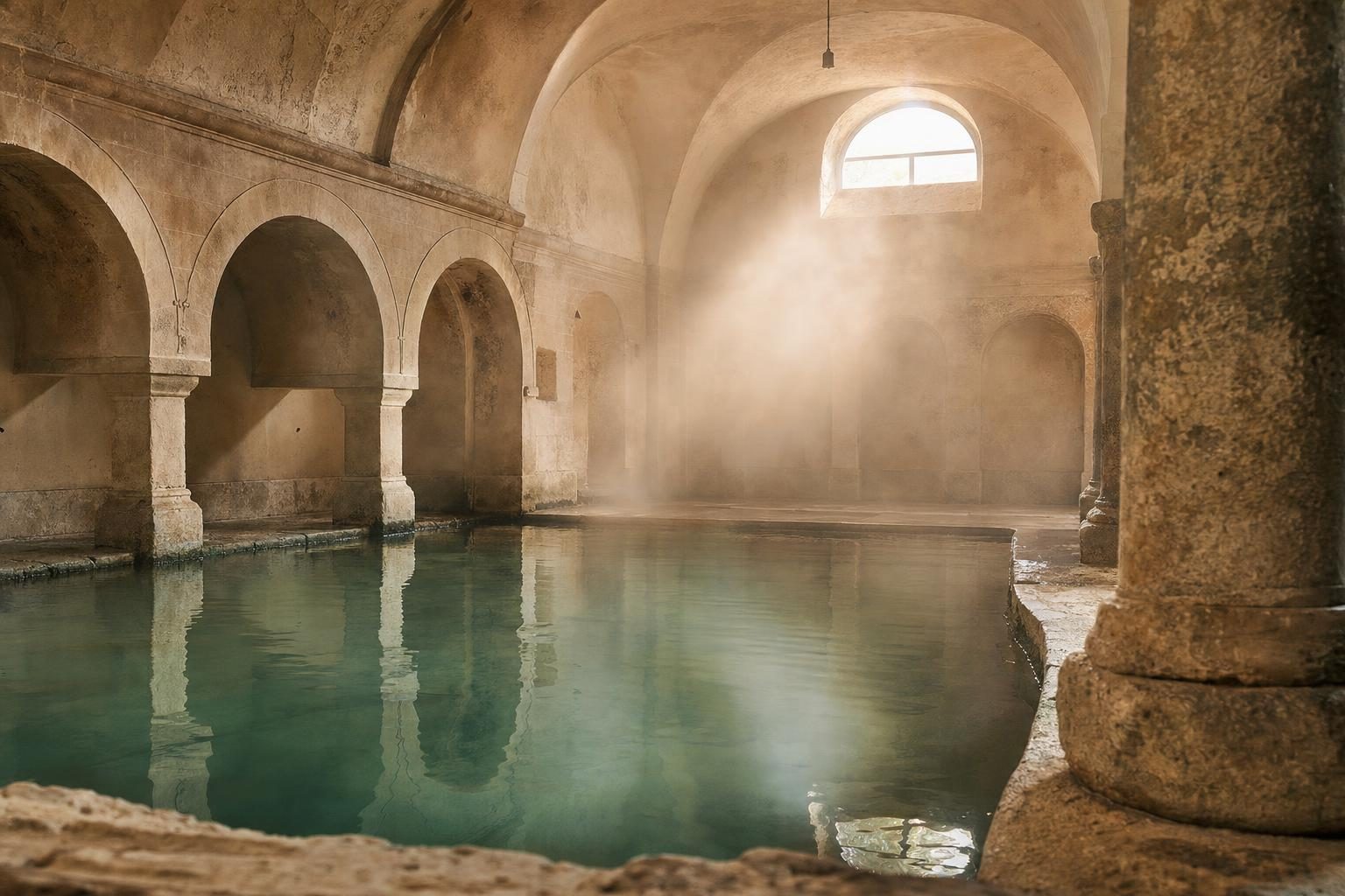
Ikaria, to the west, is famous for something harder to photograph. Its residents live unusually long lives, and it has been named one of the world’s Blue Zones. The island has hot springs at Therma, the long sweep of Seychelles beach on the south coast, and a summer calendar of panigyria, village feasts where people dance late into the night and food and wine are shared at long tables. In the hill village of Christos Raches, shops traditionally open late and stay busy after dark. The tradition of healing waters on the island fits a wider history of spa culture across the Mediterranean.
Chios and Lesvos
Chios grows something found nowhere else in commercial quantity. Mastic, the resin of a shrub-like tree, is harvested in the south of the island, and the know-how of cultivating it is on UNESCO’s Intangible Cultural Heritage list. The mastic villages show the wealth it once brought: Pyrgi’s houses are covered in grey and white geometric patterns scratched into plaster, and Mesta is a fortified village of vaulted lanes. Inland, the monastery of Nea Moni, with eleventh-century mosaics, is on the UNESCO World Heritage List. Anavatos, a village on a cliff top, has been abandoned since the nineteenth century. The citrus estates of Kambos, south of Chios town, sit behind high stone walls.
Lesvos is the third largest island in Greece and feels like a small country. In the far west near Sigri lies a petrified forest of fossilised tree trunks millions of years old, part of a UNESCO Global Geopark. Molyvos has a castle above a harbour, and Plomari is known for ouzo distilling.
Lemnos and Samothrace in the north
Lemnos is flat and volcanic, with sand dunes at Gomati in the north and wetlands where flamingos gather in winter and spring. Myrina, the capital, sits below a large castle. Kalathaki, a soft white cheese pressed in small baskets, is the island’s speciality.
Samothrace, furthest north, is the wildest island of the lot. Mount Saos rises steeply from the sea, and the island’s streams fall in a series of waterfalls and pools known as vathres, popular with walkers in summer. Near the coast lies the Sanctuary of the Great Gods, an ancient religious site where the statue known as the Winged Victory of Samothrace was found in 1863. The original stands in the Louvre. The sanctuary was a centre of mystery cults, and initiates came from across the Greek world to take part in its rites.
Ferries, seasons and getting between islands
Planning this side of Greece is mostly about choosing a base and a direction, then building around flights and ferries:
- Fly to Rhodes, Kos, Samos, Chios, Lesvos or Lemnos from Athens, and in summer from many European airports.
- Use catamarans along the Dodecanese chain between Rhodes and Patmos; conventional ferries to Piraeus are long and often overnight.
- Reach Samothrace by ferry from Alexandroupoli on the mainland.
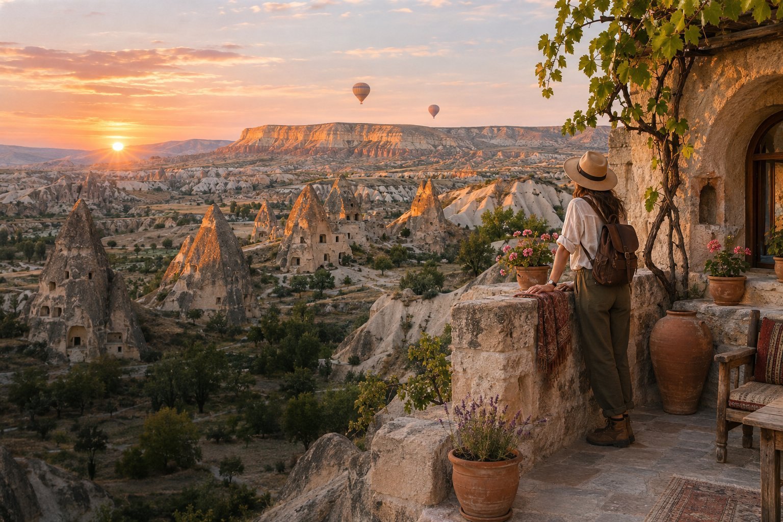
- Cross to Turkey on routes such as Rhodes to Marmaris, Kos to Bodrum, Samos to Kusadasi and Chios to Cesme, then continue inland to Cappadocia and its rock villages.
May, June and September are the best months for most of these islands. July and August are hot and busy on Rhodes and Kos, and the meltemi wind blows hard enough to cancel small boats. The Northeast Aegean islands stay greener than the Dodecanese into early summer, and Samothrace and Lemnos are noticeably cooler than Rhodes. Easter, celebrated by the Orthodox calendar, is the year’s biggest festival everywhere.
For the islands on the other side of the Aegean and off the west coast, the Cyclades and Ionian Islands guide covers Syros, Milos, Amorgos, Corfu and Kefalonia.
On Kalymnos, the climbing season peaks in spring and autumn, when the cliffs are cooler. In August, most climbers start at first light and pack up by late morning, before the sun swings round onto the west-facing walls.
Questions before you go
Which islands belong to the Dodecanese?
The name means twelve islands, but the group has more than a dozen inhabited islands. The main ones are Rhodes, Kos, Kalymnos, Karpathos, Patmos, Leros, Symi, Tilos, Nisyros, Astypalea, Kasos, Halki and Kastellorizo, plus small islands such as Lipsi, Arki and Agathonisi.
Which islands make up the Northeast Aegean group?
The main islands are Lesvos, Chios, Samos, Ikaria, Lemnos, Samothrace and Thasos, with smaller ones including Fourni, Psara, Oinousses and Agios Efstratios. They lie off the coast of Turkey and northern Greece.
When did the Dodecanese become Greek?
Italy took the islands from the Ottoman Empire in 1912 and held them until the Second World War. They were formally united with Greece in 1948, which is why Italian-era buildings are common in Rhodes town, Kos and Leros.
How long is the ferry from Athens to Rhodes?
Conventional ferries from Piraeus to Rhodes take most of a day or a night, depending on the number of stops. Most visitors fly to Rhodes or Kos and use ferries and catamarans to move between islands.
Can you take a ferry from the Greek islands to Turkey?
Yes. Seasonal and year-round ferries link several islands with the Turkish coast, including Rhodes with Marmaris, Kos with Bodrum, Samos with Kusadasi, Chios with Cesme and Lesvos with Ayvalik. Schedules change by season and passport checks apply.
What is Chios mastic?
Mastic is a resin from the mastic tree that grows commercially only in the south of Chios. The know-how of cultivating it was added to UNESCO's Intangible Cultural Heritage list in 2014, and the resin is used in sweets, liqueur and chewing gum.
Why is Ikaria known for long life?
Ikaria is one of the regions identified as a Blue Zone, where an unusually high share of residents live into their nineties. Researchers point to diet, daily physical activity on steep terrain, strong social ties and a relaxed daily rhythm.
What is the best time to visit the Dodecanese?
May, June and September are warm without the peak crowds. Rhodes and Kos stay busy all summer, and the strong northerly meltemi wind can affect smaller boats in July and August.
How do you get to Samothrace?
Samothrace is usually reached by ferry from Alexandroupoli on the mainland coast of Thrace. Crossings are frequent in summer and less regular in winter, when bad weather can cancel sailings.