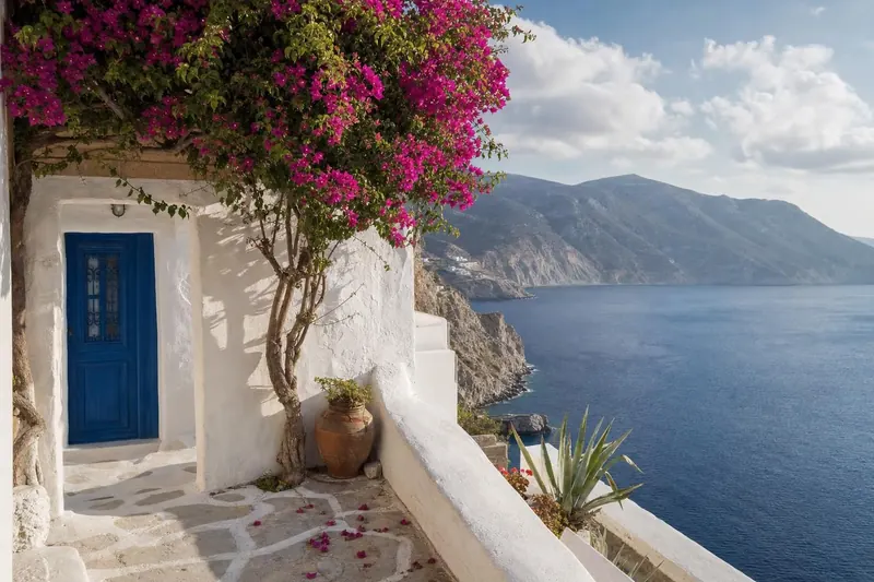
Greece · Travel guide
Greek Islands Guide: The Cyclades and the Ionian Islands
Two island groups on opposite sides of mainland Greece: the dry, wind-scoured Cyclades in the Aegean and the green, Venetian-tinged Ionian Islands to the west.
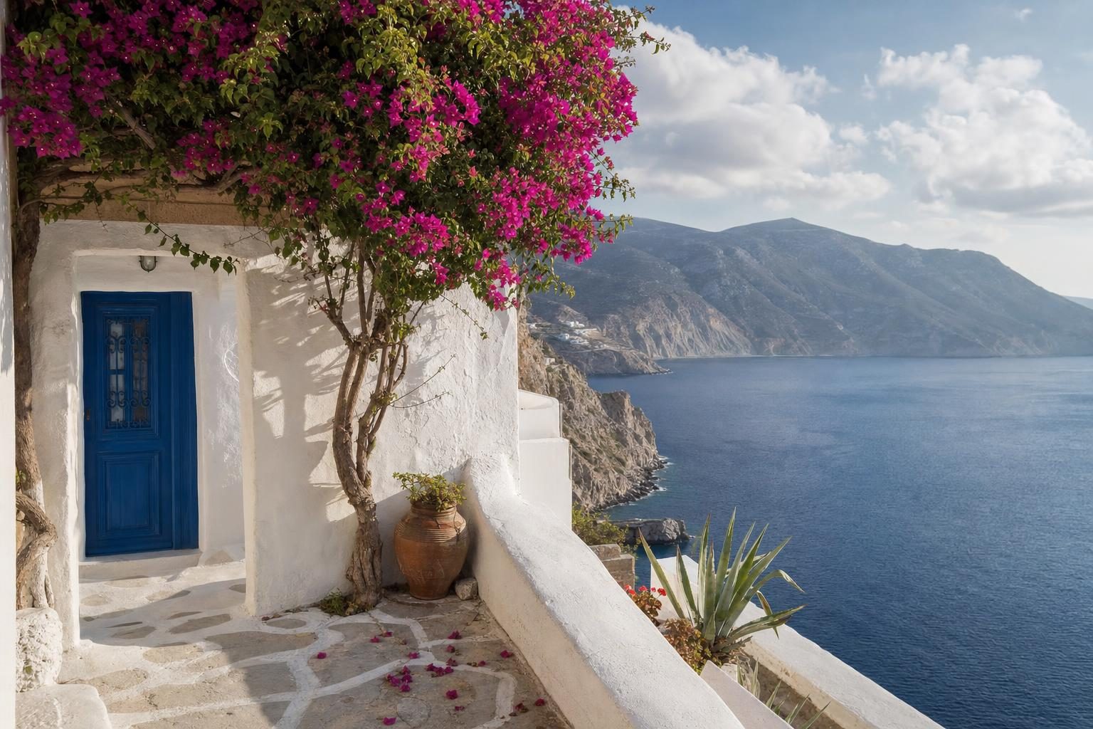
At seven in the morning the quay at Piraeus is already loud with reversing lorries, and the departure boards list more islands than most visitors could name. Greece counts around 6,000 islands and islets, of which roughly 227 are inhabited, and two groups pull at travellers from opposite directions. The Cyclades scatter across the Aegean south-east of Athens. The Ionian Islands line the west coast facing Italy. This Greek islands guide follows the ferry from one side to the other, island by island.
The two groups barely resemble each other. The Cyclades are bare, dry and bright, with cube houses painted white against the wind. The Ionian Islands are wetter in winter and therefore greener, with olive groves running down to the sea and town squares that look more like Venice than Athens. Planning a trip around the Cyclades and Ionian Islands in one summer is possible, but it means crossing the mainland, and most people choose one coast or the other.
Plan your visit
- Getting there
- Ferries to the Cyclades leave from Piraeus, Rafina and Lavrio More
- Getting around
- No direct ferry between the groups; back through Athens, or fly to Corfu, Kefalonia or Zakynthos More
- Season
- June is the sweet spot; September is often the best month for swimming More
- Tickets
- Book car spaces and summer cabins well ahead; foot passengers can buy closer to the day More
Leaving Piraeus for the Cyclades
Three ports in Attica serve the Cyclades: Piraeus, Rafina and Lavrio. Piraeus has the most departures, Rafina is quicker for the northern islands of Andros and Tinos, and Lavrio handles Kea and some western routes. Conventional ferries are slower and cheaper and ride the swell better. Fast catamarans halve the time but are the first boats cancelled when the wind rises.
That wind matters. In July and August the meltemi, a dry northerly, blows down the Aegean for days at a time. It keeps the islands cooler than the mainland and makes the sea choppy, and on a bad afternoon small boats stay in port.
Mykonos and Santorini take most of the attention, and both are easy to reach and busy for much of the year. The islands below are the ones that reward a slower plan.
Syros and Tinos, the near Cyclades
Syros is the administrative heart of the group and feels like a working town rather than a resort. Ermoupoli, its capital, grew rich in the nineteenth century as a shipping and trading port, and the money shows: marble-paved Miaoulis Square, a grand town hall and the small Apollo Theatre, built in the 1860s with La Scala in Milan as its model. On the hill above sits Ano Syros, a medieval Catholic quarter of stepped lanes and whitewash. The island’s sweet is loukoumi, the soft cube known elsewhere as Turkish delight, sold in rose, mastic and bergamot flavours from shops near the harbour.
Tinos, a short hop north, is the religious centre of the Cyclades. The church of Panagia Evangelistria holds an icon of the Virgin Mary that draws pilgrims from across Greece, most of all on 15 August, the Feast of the Dormition. Some walk the long road from the harbour on their knees, a scene with roots in a much older story of pilgrimage across faiths. Away from the town the island changes mood completely. Pyrgos is a village of marble carvers, with a museum devoted to the craft, and around Volax huge granite boulders lie in the fields as if dropped from a height. Tinos is also known for its ornamented dovecotes, stone towers whose walls are pierced with geometric patterns so that birds could fly in and out.
Milos, Folegandros and Antiparos in the western Cyclades
| Island | Character | Worth the trip |
|---|---|---|
| Milos | Volcanic | Sarakiniko, the sea arches of Kleftiko by boat, Plaka and its catacombs |
| Folegandros | Smaller and steeper | The Kastro quarter, the Panagia church above the Chora, Katergo by boat |
| Antiparos | The gentle one; minutes by car ferry from Pounta on Paros | The cave, and summer boats to Despotiko |
Milos is a volcanic island, and its coast proves it. At Sarakiniko the rock is pale grey and smoothed into waves, and swimmers jump from ledges into narrow inlets. Kleftiko, on the south-west tip, is a cluster of sea arches and caves once used by pirates, reached only by boat. Plaka, the hilltop capital, has a ruined castle on its summit and views over the bay, and close by are early Christian catacombs cut into the hillside. A farmer digging near the ancient city in 1820 found the statue now called the Venus de Milo, which left for Paris within a year and has stayed in the Louvre since.
Folegandros is smaller and steeper. Its Chora sits on a cliff edge, and the oldest part, the Kastro, is a medieval fortified quarter where house walls form the outer defence and families still live behind them. A zigzag path leads up to the church of Panagia, above the village, from which the Aegean opens in three directions. Katergo, often named the best beach on the island, is easiest to reach by small boat.
Antiparos is the gentle one. A car ferry crosses from Pounta on Paros in a few minutes, so it works as a day trip or a quiet base. Its cave, with stalactites reached by a long stairway, has drawn visitors for centuries. Off the south-west coast lies Despotiko, an uninhabited islet where archaeologists have been excavating a sanctuary of Apollo, and boats run there in summer for swimming.
Amorgos and Anafi at the eastern edge
Amorgos is long, thin and mountainous, and it is the island most likely to change a visitor’s pace. The Monastery of Panagia Hozoviotissa, founded in the eleventh century, is built into a sheer cliff face several hundred metres above the sea. Its whitewashed front is only a few metres deep, and inside, monks traditionally offer visitors a glass of rakomelo, raki warmed with honey and spices, and a cube of loukoumi. Old mule paths link the villages and are now waymarked for walkers; on a still morning the only sound on them is goat bells.
A side note that has little to do with walking: Luc Besson filmed parts of The Big Blue here in the late 1980s, and the rusting wreck of the Olympia in Liveros bay, which appears in the film, still sits on the rocks.
Anafi, east of Santorini, is one of the quietest inhabited islands in the group. Legend says Apollo made it rise from the sea to give shelter to Jason and the Argonauts during a storm. Its defining feature is the Kalamos rock, a limestone monolith on the eastern tip that rises around 460 metres from the water, with the monastery of Panagia Kalamiotissa near the summit. The climb is long and exposed, so it is best started early. Beaches such as Roukounas and Megas Potamos are reached on foot from the single village.
Crossing to the Ionian Islands
There is no direct ferry from the Cyclades to the Ionian Islands. The usual route is back through Athens and then west by road or air, or a flight to Corfu, Kefalonia or Zakynthos. From the mainland, ferries run from Igoumenitsa to Corfu, and from Kyllini in the Peloponnese to Zakynthos and Kefalonia. Lefkada needs no boat at all, as a causeway and floating bridge connect it to the mainland near Preveza.
The Ionian Islands have a history unlike the rest of Greece. Venice held most of them for centuries, and Corfu was never taken by the Ottomans despite repeated sieges. After Napoleon’s wars they became a British protectorate, and only in 1864 were they handed to the Greek state. The Greek name for the group, Eptanisa, means seven islands: Corfu, Paxi, Lefkada, Ithaca, Kefalonia, Zakynthos and Kythera.
Corfu and the Venetian north
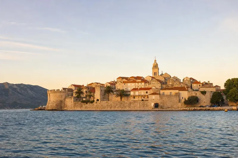
Corfu town is the clearest picture of that history. Its Old Town, inscribed on the UNESCO World Heritage List in 2007, is wedged between two fortresses, with tall, shuttered houses leaning over lanes too narrow for cars. The Liston, an arcaded promenade built under French rule, was designed in the style of the Rue de Rivoli in Paris and faces the Spianada, the large open square where cricket is still played in summer. South of town stands the Achilleion, a palace built for Empress Elisabeth of Austria.
Easter here is a public event. On the morning of Holy Saturday, residents throw clay pots from balconies and windows to smash on the streets below, and brass bands play through the town. Outside Corfu town the island is green, hilly and lined with olive trees, and the north-west coast around Paleokastritsa has coves of clear water. Small kumquat trees grow on the island too, and the fruit turns up as a sweet liqueur and candied peel in most food shops.
Lefkada, Ithaca and Kefalonia
Lefkada’s west coast has some of the most photographed beaches in the Mediterranean. Porto Katsiki sits below white cliffs, and Kathisma and Egremni stretch along the same shore. Agios Nikitas is a small village at the edge of the sand, and the island’s south has become a base for windsurfing and kitesurfing.
Ithaca, small and quiet, is reached by ferry from Sami on Kefalonia. Vathy, its main town, lies at the end of a deep, sheltered inlet favoured by sailing boats. Kioni and Frikes in the north are fishing harbours turned yacht stops. The island is usually identified with the home of Odysseus, and local walking routes follow sites linked to the story.
Kefalonia is the largest of the Ionian Islands and the most varied. An earthquake in 1953 levelled most of its towns, which is why much of the architecture is recent; Fiskardo, in the north, survived and keeps its older houses. Myrtos beach lies at the foot of a long white scree slope and turns a startling blue in afternoon light. Melissani is a cave with a lake inside, its roof partly collapsed, so that sunlight falls straight into the water around noon. Mount Ainos National Park protects forests of the Kefalonian fir, a species found almost nowhere else, and the island’s Robola grape gives a dry white wine produced only here. Louis de Bernières set his novel Captain Corelli’s Mandolin on the island, and the film adaptation was shot here too.
Zakynthos, further south, completes the main group. Its beaches at Laganas Bay are nesting grounds for loggerhead turtles and part of a national marine park, so parts of the coast are closed at night in summer.
| Island | Towns and harbours | Known for |
|---|---|---|
| Lefkada | Agios Nikitas | West-coast beaches: Porto Katsiki, Kathisma, Egremni; windsurfing in the south |
| Ithaca | Vathy; Kioni and Frikes in the north; ferry from Sami | The home of Odysseus and walks to sites linked to the story |
| Kefalonia | Fiskardo, which survived the 1953 earthquake | Myrtos beach, Melissani cave, Mount Ainos fir forests, Robola wine |
The Greek islands by season
April and May are green on both coasts, with wildflowers in the Cyclades and cool sea water. Easter, which follows the Orthodox calendar, is the biggest festival of the year everywhere. June is the sweet spot: long days, warm water, and ferries running on summer schedules. July and August bring heat, crowds, peak prices and, in the Aegean, the meltemi. In the Ionian Islands the wind is usually gentler, which is one reason sailors base themselves there.
September is a second spring, often the best month for swimming. By late October many small islands go quiet; hotels and tavernas close, and ferry timetables thin out. Winter travel to the Cyclades and Ionian Islands works for walkers and for anyone curious about island life without visitors, but it needs flexibility.
Ferries and a working guide to island hopping
Summer timetables are usually published in spring and change through the season. A few practical rules make island hopping smoother:
- Plan routes along lines rather than zigzags. Syros, Tinos and Andros sit on one line from Rafina and Piraeus; Milos and Folegandros on another; Amorgos is on a separate eastern route.
- Book car spaces and summer cabins well ahead; foot passengers can usually buy closer to the day.
- Keep a spare day before an international flight, because high winds can cancel departures.
- In the Ionian Islands, local ferries link Kefalonia, Ithaca and Lefkada, but inter-island options are fewer than in the Aegean.
For travellers coming from the Adriatic, a week on the Dalmatian coast of Croatia pairs well with the Ionian Islands: ferries from Italian ports such as Bari and Ancona connect to Corfu and Igoumenitsa. To continue east instead, the Dodecanese and Northeast Aegean islands carry on where this Greek islands guide ends, close to the Turkish coast. More island-hopping routes and city breaks sit in the travel guides section.
On the smaller islands, the ferry office near the harbour usually opens an hour or so before each departure, and the person behind the counter knows the next day’s weather better than any app.
Questions before you go
What is the difference between the Cyclades and the Ionian Islands?
The Cyclades sit in the Aegean Sea south-east of Athens and are dry, rocky and known for whitewashed cube houses. The Ionian Islands lie off the west coast of Greece, receive more winter rain and are greener, with olive groves, cypress and Venetian town architecture.
When is the best time to visit the Greek islands?
Late May, June and September give warm sea temperatures with fewer visitors. July and August are the busiest and hottest months, and in the Cyclades the strong northerly meltemi wind often blows in that period. Many hotels and tavernas on smaller islands close between November and April.
How do you get to the Cyclades from Athens?
Ferries and fast boats leave from three Attica ports: Piraeus, Rafina and Lavrio. Several Cycladic islands, including Mykonos, Santorini, Milos, Naxos, Paros and Syros, also have airports with flights from Athens.
How do you reach the Ionian Islands?
Corfu, Kefalonia and Zakynthos have international airports, and Lefkada is served by Aktion airport near Preveza on the mainland. By sea, Corfu is reached from Igoumenitsa, while Kefalonia and Zakynthos have ferries from Kyllini in the Peloponnese.
Can you drive to Lefkada?
Yes. Lefkada is joined to the mainland by a causeway and a short floating bridge, so cars and buses cross without a ferry. Ferries are still needed to reach Ithaca, Kefalonia and the small islands off its east coast such as Meganisi.
Which Cycladic island suits walkers?
Amorgos has a network of old stone footpaths that once connected its villages, and Anafi offers the long climb up the Kalamos rock. Both are quieter than Mykonos or Santorini and are better outside the peak heat of midsummer.
Is Corfu Old Town a UNESCO World Heritage Site?
Yes. The Old Town of Corfu was inscribed on the UNESCO World Heritage List in 2007 for its fortifications and urban fabric, shaped by centuries of Venetian rule.
Why do pilgrims travel to Tinos on 15 August?
The church of Panagia Evangelistria in Tinos town holds an icon of the Virgin Mary venerated across Greece. The Feast of the Dormition on 15 August draws the largest crowds, and some pilgrims cover the road from the harbour to the church on their knees.
Where was the Venus de Milo found?
The statue was discovered on Milos in 1820 near the ancient city above today's village of Plaka. It is now in the Louvre in Paris, and a marker on the island shows the spot.