Corsica · Travel guide
Hiking the GR20 Trail in Corsica, North to South
Two weeks, roughly 180 kilometres and around 12,000 metres of climbing along the granite spine of a Mediterranean island: the GR20 is as hard as its reputation.
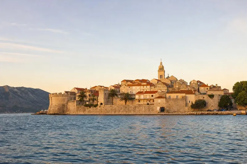
Calenzana is a village of stone houses and a tall church tower, about 12 kilometres inland from Calvi, and on summer mornings its main square is full of people adjusting rucksack straps. A sign at the edge of town marks the start of the GR20, and the path turns uphill almost at once. Within an hour the maquis smells of thyme and hot rock, and by the end of the first day hikers have climbed more than 1,300 metres. That opening gives a fair idea of the next fortnight.
The GR20 runs about 180 kilometres across Corsica, from Calenzana in the north-west to Conca in the south-east, following the granite spine of the island. Its total ascent is around 12,000 metres. In Corsican the route is known as Fra li Monti, “between the mountains”. It is often called the hardest of France’s long-distance footpaths, and it rarely touches a road.
Corsica lies about 11 kilometres north of Sardinia, across the Strait of Bonifacio, and much closer to Italy than to mainland France. Genoa ceded it to France in 1768. Its interior stayed remote for centuries, and the mountains crossed by the GR20 are still grazed by shepherds’ flocks in summer.
Plan your visit
- Season
- Guarded season roughly mid-May to early October; late June is often the best compromise More
- Duration
- Two weeks for the full route; most stages take six to eight hours of walking More
- Getting there
- Airports at Bastia, Calvi, Ajaccio and Figari; Calenzana by bus or taxi from Calvi More
- Base
- Refuges run by the Corsica Regional Natural Park; booking mandatory in season, tents included More
GR20 North: Calenzana to Vizzavona
The northern half is the harder one. Stages are long, the rock is steep and the trail often uses chains, fixed handholds and boulder fields rather than a path. The first nights pass the refuges of Ortu di u Piobbu and Carrozzu, where a suspension footbridge crosses the Spasimata gorge above smooth granite slabs.
Haut Asco is a small ski station at the head of a valley, with a hotel and a road, the only real contact with civilisation on the northern half. From here the old route crossed the Cirque de la Solitude, a sheer gully descended on chains. On 10 June 2015, a rockfall there killed seven hikers, and the official GR20 was moved. The trail now climbs over the Pointe des Éboulis, at around 2,600 metres the highest point on the route, before dropping to the Tighjettu refuge. The ascent from Haut Asco is long and steep, over loose scree, and it starts best at first light. Strong walkers sometimes add the summit of Monte Cinto, at about 2,700 metres the highest peak on the island.
Beyond Tighjettu, the trail passes beneath Paglia Orba, a striking peak often compared to the Matterhorn, and down to the road pass of Col de Vergio. Lac de Nino comes next, a mountain lake surrounded by pozzines, spongy grass meadows threaded with small pools where wild horses graze. It is one of the gentlest moments of the walk.
The stretch from the Manganu refuge to Petra Piana includes the Brèche de Capitellu, a notch in the ridge reached by a steep climb, with a drop on the far side to two glacial lakes, Capitello and Melo. The final northern stages pass the Onda refuge and the slopes of Monte d’Oro before descending through beech and pine forest to Vizzavona.
Vizzavona, the halfway point
Vizzavona is a hamlet in the forest with a railway station, a few hotels and shops. Many hikers walk only one half of the route, and this is where they start or finish. The station sits on the line between Ajaccio and Bastia, served by the small trains locals call the trinighellu, which wind slowly through tunnels and over viaducts across the island’s interior.
On the station platform, hikers coming off the northern half can be recognised at once. Their boots are scuffed white by granite, and many head straight for the café.
Animals on the high ground
Walkers on the northern half share the ridges with animals that rarely see a road. Corsican mouflon, wild sheep with heavy curled horns, live on the high slopes and are most often spotted at dawn, though they keep their distance. Semi-wild pigs root about in the chestnut woods lower down, and cows wander the meadows around Lac de Nino and Col de Vergio with no apparent owner. Overhead, the island is one of the last places in France outside the Pyrenees and the Alps with bearded vultures, huge birds that feed on bone, and a pair circling a ridge is a sight hikers talk about at the refuge that night.
The sheep and goats are not wild. Shepherds still move flocks up to summer pastures, and their stone bergeries, some of them centuries old, are scattered along the route.
GR20 South: Vizzavona to Conca
The southern half begins gently in forest of pine and beech, with more springs and fewer chains. Stages are shorter. The trail rises to open ridges around the Capannelle and Prati refuges, where the views open on both coasts on a clear day.
Monte Incudine, at about 2,100 metres, is the highest point of the southern half and is crossed on the route. The descent from it to the Asinau refuge is steep and long, and is one of the hardest days in the south.
The highlight for many hikers is Bavella, where pinnacles of red granite rise above pine woods. The trail splits here: the standard route goes around the needles, and an alpine variant crosses between them on a narrow ridge with chains and exposed sections, usually in fine weather only. On the final day, the path drops through maquis and oak woodland towards Conca, a village a few kilometres from the coast, and the end of the GR20 is marked by a sign and, in season, a café terrace full of hikers comparing blisters.
Refuges, booking and food
The refuges along the GR20 are run by the Corsica Regional Natural Park. Each has a hut with bunks, a kitchen area, a water point and space for tents. In the guarded season, roughly mid-May to early October, booking is mandatory, including for tent pitches. The park opens its online reservations early in the year, and nights at some popular refuges sell out within days. Outside the season the refuges are unguarded, and the route turns into a serious mountain undertaking.
Wild camping along the trail is not permitted. Tents may only be pitched near the refuges.
Many refuges sell basic meals, drinks and supplies, and several shepherds’ bergeries along the route sell cheese and charcuterie. Brocciu, a fresh ewe’s and goat’s milk cheese, turns up in omelettes, pastries and on bread. There are no cash machines on the trail, and card payment is not always possible, so cash is still worth carrying.
When to go
The guarded season sets the window, but conditions within it vary widely:
- May and early June: snow often remains on north-facing slopes and high passes in the northern half, and some sections may be dangerous without experience on snow.
- Late June: long days, flowers and more stable weather; often the best compromise.
- July and August: hot and busy, with afternoon thunderstorms in the mountains. Starting at dawn and finishing by early afternoon is common practice.
- September: cooler, clearer and quieter, with shorter days.
Weather changes quickly in the Corsican mountains. Fog can hide the waymarks on the ridges, and storms bring lightning and strong winds. Refuge wardens post forecasts and advise on whether to continue.
What goes in the pack
Weight decides how much the GR20 hurts. Hikers who sleep in the refuges and buy most meals along the way can walk with a pack of around ten kilograms; those carrying a tent, stove and a week of food may double that, and on the scrambles of the northern half every extra kilo is felt in the arms as much as the legs. Boots or trail shoes with a firm sole matter more than anything else, because the granite is coarse and the scree is loose. Trekking poles help on the long descents. A waterproof jacket and a warm layer are needed even in August, as temperatures on the high passes can drop sharply when a storm comes through.
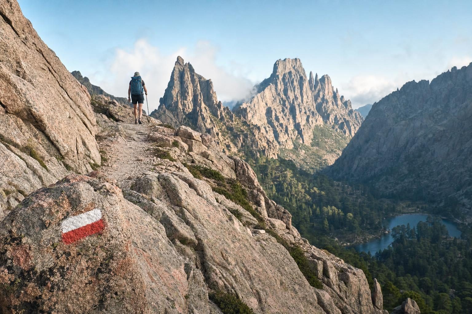
The trail is waymarked in red and white paint, but a map or a downloaded track is still essential in fog. Mobile coverage is patchy in the mountains, and refuge wardens are often the only source of weather information for days.
Who the GR20 suits
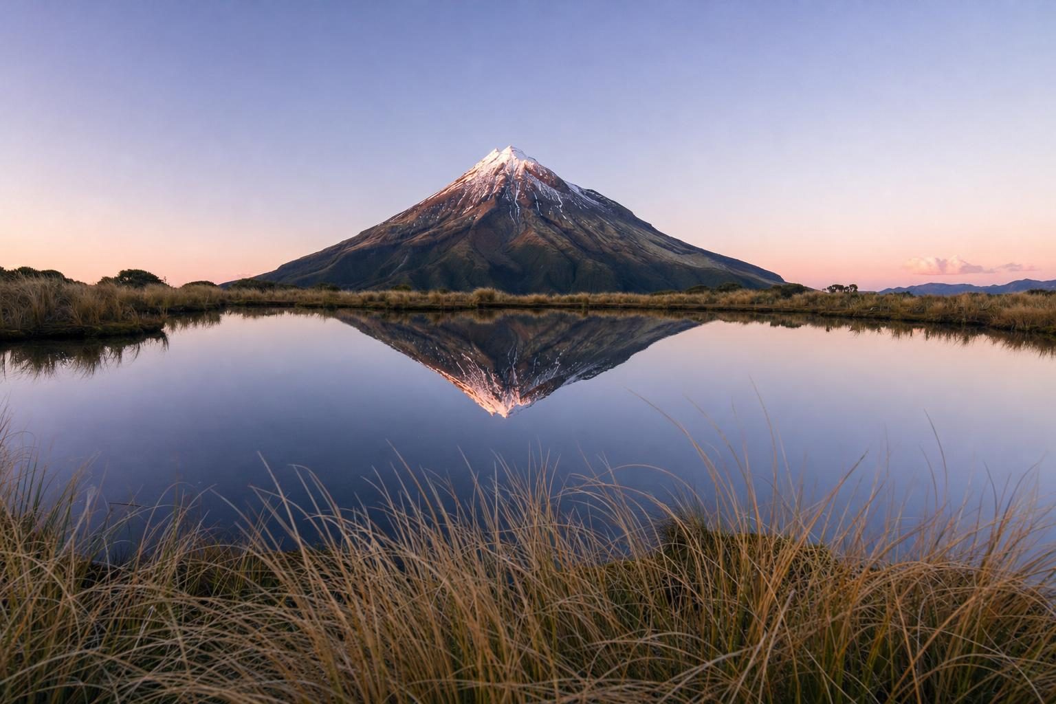
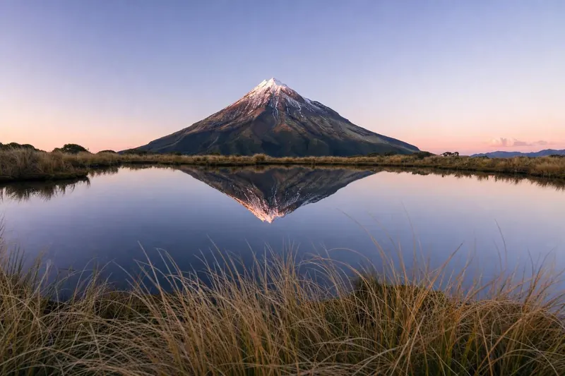
The GR20 needs no technical climbing gear, but it does need fitness and steady nerves. Most stages involve six to eight hours of walking, with steep ascents and descents, and several days require scrambling on exposed rock. Hikers who have done a hard mountain day such as New Zealand’s Pouakai Crossing on Mount Taranaki will have a sense of the terrain, but the GR20 repeats that effort day after day for two weeks.
If you are unsure, walking only the southern half is a sensible way to start. Some hikers use guided or self-guided packages, in which a local company books refuges and transfers, and some arrange for luggage to meet them at road access points.
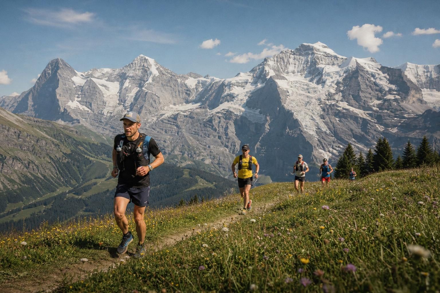
For runners and walkers who like mountain events, the GR20 shares something with the Jungfrau Marathon in the Swiss Alps: an effort that stays in the legs long after the finish line.
Getting to the trailheads
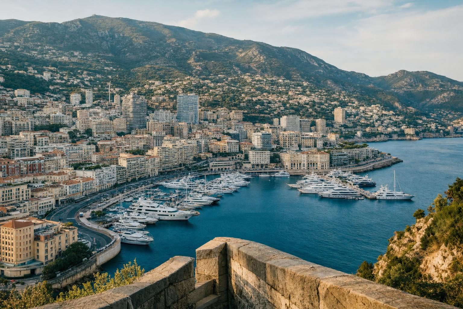
Corsica has airports at Bastia, Calvi, Ajaccio and Figari, and ferries from mainland France and Italy reach Bastia, Ajaccio, Calvi and other ports. Ferries from Nice and Toulon also make it possible to combine the GR20 with a few days on the Riviera, including Monaco and Monte Carlo. Calenzana is reached by bus or taxi from Calvi. Conca is linked to Porto-Vecchio, and from there buses run to Bastia and Ajaccio. Mid-route, Vizzavona is the simplest entry or exit point because of its railway station. More route guides are collected in the travel guides section.
Transport out of Conca is limited, especially early and late in the season, so the onward ride to Porto-Vecchio is worth arranging from the last refuge, where wardens usually know who runs the shuttle that year.
Questions before you go
How long is the GR20?
The GR20 is about 180 kilometres long, with around 12,000 metres of total ascent. Most hikers take 15 or 16 days to walk it from end to end, using the refuges along the route as stage ends.
Where does the GR20 start and finish?
The official ends are Calenzana in the north-west, near Calvi, and Conca in the south-east, near Porto-Vecchio. Vizzavona, in the middle, has a railway station and splits the route into GR20 North and GR20 South.
Which half of the GR20 is harder?
The northern half, between Calenzana and Vizzavona, is generally considered harder, with longer stages, more scrambling and the highest passes. The southern half is still demanding but has more forest and gentler stretches.
Do you need to book GR20 refuges?
Yes. The refuges are run by the Corsica Regional Natural Park, and booking is mandatory during the guarded season, including for bivouac and tent pitches near the huts. Bookings open early in the year on the park's online platform, and popular nights sell out quickly.
When is the GR20 season?
The refuges are usually guarded from mid-May to early October. Snow can linger on the high northern passes into June, and July and August bring heat and afternoon thunderstorms, so late June and September are often recommended.
Is the Cirque de la Solitude still on the GR20?
No. After a fatal rockfall in June 2015, the official route was moved away from the Cirque de la Solitude. It now crosses the Pointe des Éboulis, at around 2,600 metres, on the way to Monte Cinto's flanks and the Tighjettu refuge.
Can you camp along the GR20?
Wild camping along the trail is not allowed. Tents may be pitched only in the designated areas next to the refuges, and those pitches must be booked in season.
Is there water on the GR20?
Each refuge has a water point, and there are springs along many stages, especially in the south. Some northern stages have long dry sections, so carrying two litres or more is wise in summer.
Do you need climbing experience for the GR20?
No technical climbing gear is needed, but there are scrambles with chains and fixed handholds, exposed ridges and steep scree. Good fitness, a head for heights and experience of multi-day mountain walking are essential.