Myanmar · Story
Myanmar's Chin State: Hill Villages, Face Tattoos and a Region at War
Ridges of bamboo and pine run north to south along Myanmar's border with India and Bangladesh. For a few years after 2015 a handful of travellers reached the Chin Hills; since the 2021 coup the state has been a war zone.
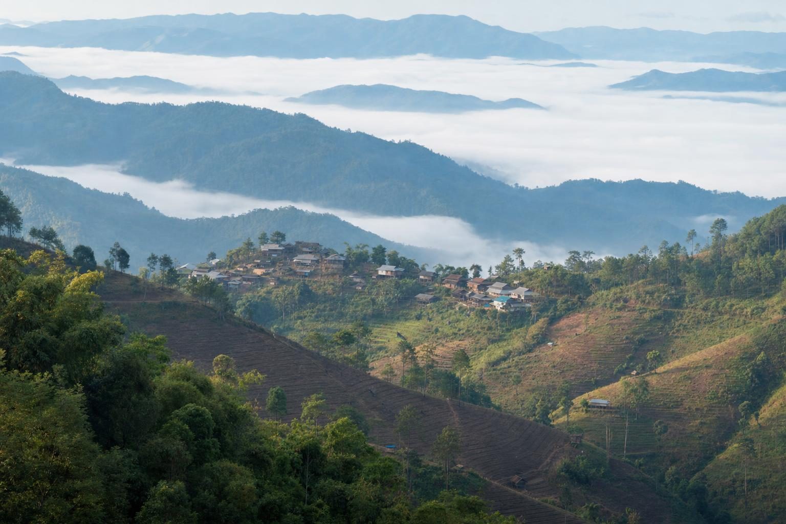
Fewer than 500,000 people live in Chin State, scattered across some 36,000 square kilometres of mountains on Myanmar’s western edge. The 2014 census counted about 480,000. Roads are few, villages cling to ridgelines rather than valley floors, and for much of the twentieth century the region was closed to outsiders. In the decade before 2021, Chin State opened a crack: foreign travellers with the right permits could reach Mindat, Kanpetlet and the slopes of Mount Victoria, and a few expeditions went further, by motorbike and on foot into villages that had rarely seen a visitor. That window has shut. Since the military coup of February 2021, Chin State has been one of the most active fronts in Myanmar’s civil war.
This is a portrait of the place as it was briefly open, and of what has happened since.
The shape of the Chin Hills
The Chin Hills are the southern continuation of the ranges that run down from the eastern Himalaya through Manipur and Mizoram, and they continue south as the Arakan Yoma towards the Bay of Bengal. The state borders the Indian states of Mizoram and Manipur to the west and north, Bangladesh’s Chattogram Division to the southwest, Rakhine State to the south and the Sagaing and Magway regions to the east. Its capital, Hakha, sits high on a ridge in the north.
The terrain explains most of the region’s history. Ridges run north to south in tight parallel lines, separated by deep river gorges. A straight-line distance of twenty kilometres between two villages can mean a full day on foot. Rotational slash-and-burn farming still covers much of the cultivated land, with rice, maize and millet grown on steep plots that are cleared, used for a few seasons and then left to regrow.
Over 70 per cent of the population lives below the poverty line, one of the highest rates in Myanmar. In 2015, before the current conflict, 41 per cent of children in the state were affected by stunting, the highest share in the country. Electricity in rural areas was patchy or absent, and many villages were reachable only by motorbike track or footpath.
North: Hakha, Falam and the border lakes
The northern townships, Hakha, Falam, Tedim and Tonzang, are home largely to Laimi and Zomi peoples, and their languages and ties run straight across the border into Mizoram and Manipur. Families, churches and trade link both sides, which became important after 2021, when tens of thousands of people crossed into India.
Near the border east of the Indian town of Champhai lies Rih Dil, a lake that holds a special place in Mizo and Chin tradition as a passage for the souls of the dead. For Mizo travellers it was one of the few places in Chin State that could be visited with relative ease before the war, via the Zokhawthar crossing.
Hakha is known for its churches. American Baptist missionaries Arthur and Laura Carson arrived there in 1899, and the Chin Hills Baptist Association was founded in the town in 1907. Christianity grew slowly at first and then very quickly after independence. By the 2014 census about 85 per cent of Chin State’s people identified as Christian, making it the only Christian-majority state in a country where most people are Theravada Buddhist. The Chin are therefore a double minority, neither Bamar nor Buddhist, and human rights groups documented forced labour, religious restrictions and other abuses against them under earlier military governments.
South: Mindat, Kanpetlet and Mount Victoria
The south of the state was where most foreign visitors went in the years when it was open. Mindat and Kanpetlet are hill towns reached by road from the Magway Region side, from the plains around Bagan and Pakokku. Both were bases for walks into surrounding villages and for the climb towards Nat Ma Taung, better known in English as Mount Victoria.
At just over 3,000 metres, Nat Ma Taung is the highest point in Chin State. Sources give slightly different figures for its height and for the area of the national park around it, but its ecological value is not in question. Natmataung National Park is an ASEAN Heritage Park, and its forests change with altitude from pine and oak to rhododendron near the summit, which flowers in a blaze of red in early spring. Birders came for the white-browed nuthatch, a small endangered bird found nowhere else on earth, and for a long list of other montane species.
The southern Chin groups, among them the Muun, Daai, M’kaan and Uppriu, were also the communities in which women’s faces were traditionally tattooed. In the years when visitors could come, the elderly women of villages around Mindat and Kanpetlet were the reason many travellers made the drive. That attention was not always comfortable for the women themselves, a point visitors raised often in their own accounts.
The faces of the last tattooed generation
Facial tattooing among Chin women, known as ming, varied from tribe to tribe. Among the M’kaan and Daai, women’s whole faces were covered with dense lines. Muun women tattooed only parts of the face. The Uppriu used patterns of dots, while some Khami (Mro) women wore small marks or stars associated with fertility. The ink was made from soot of burned pine resin or bark mixed with plant leaves, pricked into the skin with a thorn, and the process took several days. Girls were usually tattooed in their teens.
Why it began is uncertain. The most repeated story says that Chin families marked their daughters to make them less attractive to Burmese royalty, who were said to carry off young women. Other accounts link the designs to beauty, adulthood, or the need to identify a woman’s tribe if she were taken away. The explanations are not exclusive, and each community tells its own version.
The tattoos were banned in the 1960s under the Revolutionary Council government, and missionaries discouraged them at the same time. The women who still carry the patterns are now very old. Within a short span of years the last of them will be gone, and the tradition will survive only in photographs and in the memory of their families.
It would be easy to frame Chin State entirely through these faces. Many Chin people resent that, and with reason: the tattoos are one custom among many, and a region of around half a million people has more to say for itself than a single image.
A side note on konjac
One unexpected fact about Chin State concerns a tuber. The state is Myanmar’s largest producer of konjac, a starchy corm grown on hill farms. Much of the harvest is traded on towards China, where konjac is turned into the flour behind jelly-like noodles and sweets. For some upland families it has been one of the few reliable sources of cash, and prices on the border markets are followed closely in villages a long way from any road.
Rivers south to Rakhine
From southern Chin State the rivers drain towards Rakhine State and the coast. Before 2021, a small number of expeditions combined hill villages with a descent by boat towards Mrauk U, the old Rakhine royal capital, which was the seat of a powerful kingdom from 1430 to 1785 and is known for temples second in number only to those of Bagan. Paletwa, in the far south of Chin State on the Kaladan River, was the hinge between the two states, and it was a centre of fighting between the Arakan Army and the Myanmar military even before the coup.
That route is now part of a war zone. The Arakan Army captured Mrauk U from government forces in February 2024, and northern Rakhine has seen grave abuses against civilians, including the Rohingya, over many years.
Chin State since the 2021 coup
The Chin hills were among the first places to take up arms after the military seized power on 1 February 2021. In spring of that year, residents of Mindat fought government troops with hunting rifles, and the military declared martial law in the town. Local defence forces formed across the state and later coordinated with the Chin National Front, the long-established Chin armed group. In late 2021 large parts of the town of Thantlang were burned during fighting, and much of its population fled.
Over the following years the resistance took control of most of the state. Reports from late 2025 estimated that Chin forces held about 80 per cent of its territory. About 160,000 people, roughly a third of the population, have been displaced, many of them across the border into Mizoram, where they live alongside Mizo communities who share their language and faith. In December 2023 the Chin National Front and allied groups adopted a constitution proclaiming Chinland, though resistance groups in several townships objected, and the politics of Chin self-government remain contested. In April 2026 a Chin State government was re-established outside the military’s administration.
Airstrikes, landmines and the collapse of health and education services have hit civilians hardest. Schools, already short of basic supplies before the war, closed in many areas. Aid agencies working from the Indian side report shortages of food and medicine in remote townships.
The travel position now
As of the most recent update in August 2026, the UK Foreign, Commonwealth and Development Office lists Chin State among the parts of Myanmar it advises against all travel to, its most serious category, and describes the conflict in the country as increasingly volatile. Other governments issue similar warnings for the border regions. Permits that once allowed foreigners to enter the south of the state are not a meaningful route into an active conflict area, and travel insurance generally does not cover regions under such advice.
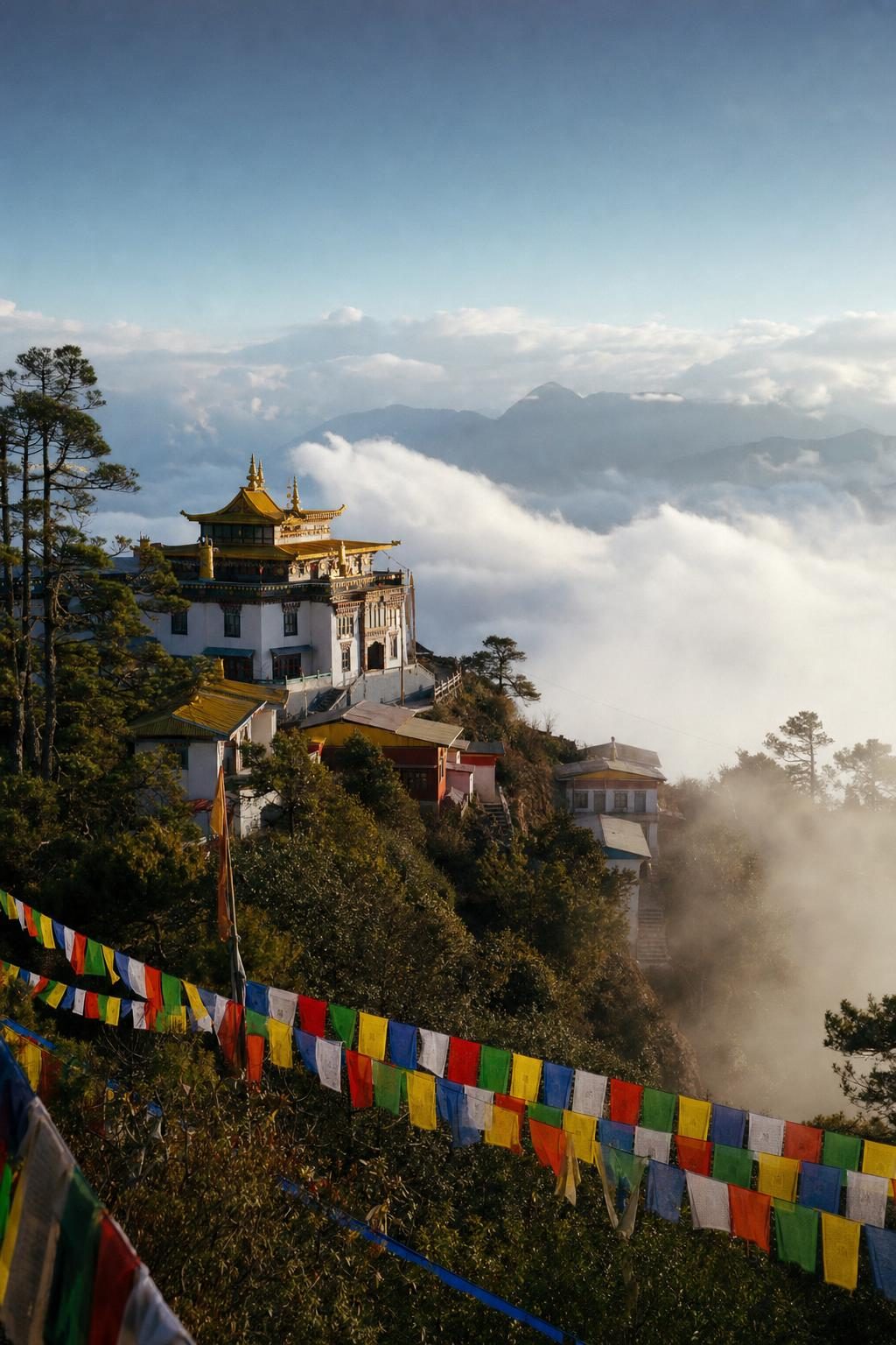
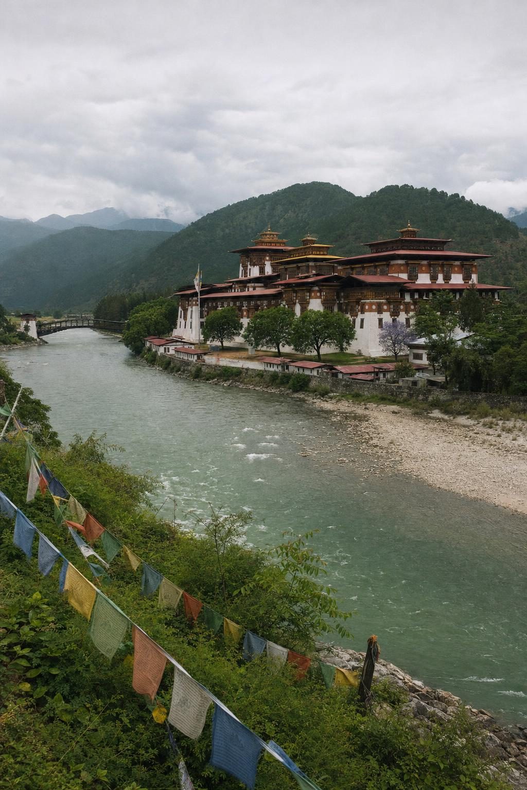
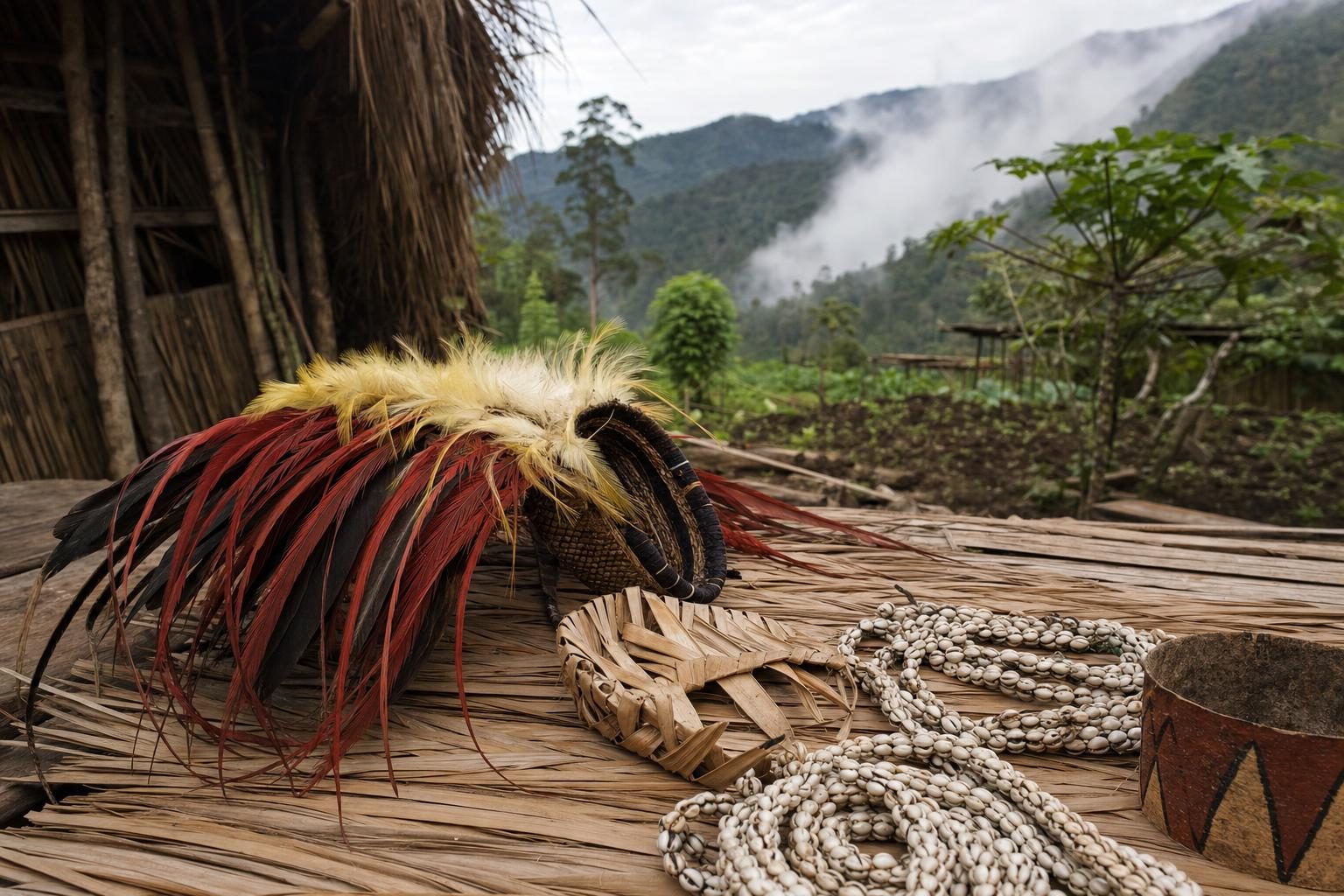
For readers drawn to remote highland cultures, there are places in the wider region where visiting is possible and welcomed. Across the border in northeast India, the monasteries and Monpa villages described in the story of Arunachal Pradesh and Tawang can be reached with a permit. The kingdom covered in Bhutan: Himalayan Harmony welcomes visitors under its own tourism rules, and the highland communities photographed in Tribal Papua New Guinea offer another view of mountain societies adapting to change.
Following Chin State from a distance
Chin communities abroad are the best way to stay connected with the region while it remains closed. Large groups live in Mizoram, in Malaysia, where more than 27,000 Chin were registered with the UN refugee agency in 2024, and in the United States, where the Indianapolis area is home to roughly 32,000 Chin people.
Chin National Day, on 20 February, marks the end of the old chieftainship and bonded-labour system and was first celebrated in Mindat in 1951. It is still held every year by communities in exile, with traditional dress, music and dishes. For anyone curious about Chin State while the hills remain out of reach, that February gathering in a church hall in Indiana or a community centre in Kuala Lumpur is the closest and safest place to start.
Questions before you go
Where is Chin State?
Chin State lies in northwestern Myanmar. It borders the Indian states of Mizoram and Manipur, Bangladesh's Chattogram Division, Rakhine State and the Sagaing and Magway regions. Its capital is Hakha.
Can foreigners travel to Chin State now?
Not safely. Since the military coup of February 2021 the state has seen heavy fighting, and the UK Foreign, Commonwealth and Development Office lists Chin State among the parts of Myanmar it advises against all travel to. Travellers should follow their own government's current advice.
How many people live in Chin State?
The 2014 census counted roughly 480,000 people in an area of about 36,000 square kilometres. Since 2021 around 160,000 people, about a third of the population, have been displaced inside Myanmar or across the border into India.
Why are Chin women's faces tattooed?
Several southern and central Chin groups tattooed girls' faces, with patterns that varied by tribe. Explanations range from protection against abduction to beauty and tribal identity. The practice was banned in the 1960s and discouraged by missionaries, so only elderly women still carry the marks.
What religion do most Chin people follow?
Chin State is the only Christian-majority state in Myanmar, with Christians making up about 85 per cent of the population at the 2014 census. American Baptist missionaries arrived in Hakha in 1899, and Baptist churches remain the largest denomination.
What is the highest mountain in Chin State?
Nat Ma Taung, also called Mount Victoria, rises to just over 3,000 metres in southern Chin State. It sits inside Natmataung National Park, an ASEAN Heritage Park known for the endemic white-browed nuthatch.
What is Chin National Day?
Chin National Day falls on 20 February and marks the abolition of the old chieftainship and slavery system. The first celebration was held in Mindat in 1951, and the day is marked by Chin communities in Myanmar and abroad.
Who controls Chin State today?
Control is contested. Reports from late 2025 estimated that Chin resistance forces held about 80 per cent of the state's territory, and a Chin State government outside the military's administration was re-established in April 2026. The situation changes quickly and should be checked in current news reporting.
Where do Chin refugees live?
Large Chin communities live in Mizoram in India, in Malaysia and in the United States, where the Indianapolis area has one of the biggest concentrations. Tens of thousands crossed into Mizoram after 2021.