USA · Road trip
Kings of the Road: Driving Route 66 from Chicago to Santa Monica
The old highway from Chicago to the Pacific was decommissioned decades ago, yet most of it can still be driven. What survives is a chain of diners, motels, giants and ghost towns strung across eight states.
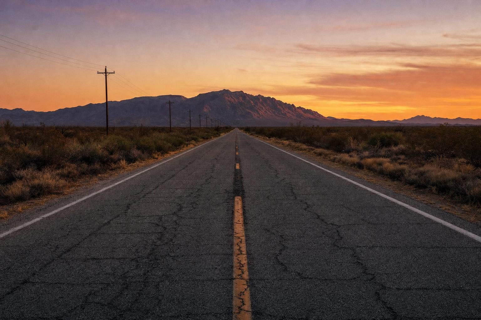
Breakfast at Lou Mitchell’s on West Jackson Boulevard in Chicago comes with a small box of Milk Duds for women and children, a custom the diner has kept for generations, and a queue at the door that often includes people with a map on the table and a long drive ahead. The restaurant opened in 1923, three years before the road it is now linked to, and it has become the unofficial first stop on Route 66. A few blocks away, a brown sign on Adams Street marks the beginning.
Route 66 was commissioned in 1926 as one of the first numbered highways in the United States, running from Chicago to Los Angeles and later extended to Santa Monica. For half a century it carried farm families, truckers, soldiers and holidaymakers westward, and its fortunes followed those of the country. John Steinbeck called it the mother road in The Grapes of Wrath. Bobby Troup’s song told everyone to get their kicks on it. Then the interstates arrived, one bypass after another, and in 1985 the highway was formally removed from the federal system.
What survives is not one road but many fragments, and following historic Route 66 today means switching between old concrete, county roads and frontage lanes beside the interstate. A good guidebook or turn-by-turn route is essential. Passengers who take their eyes off the directions for long end up, sooner or later, on a lonely farm road with no idea which decade’s alignment they are on.
Plan your visit
- Duration
- At least two weeks if time permits More
- Season
- Late spring or early autumn, to avoid the worst of the desert heat More
- Getting around
- Westbound is the classic way; one-way hire between Chicago and Los Angeles at a price More
- Where
- From a brown sign on Adams Street in Chicago to the Santa Monica Pier More
Illinois: giants and gas stations
The first day out of Chicago is a lesson in how small towns put themselves on the map. South of the city, in Wilmington, the Gemini Giant, a fibreglass astronaut nearly thirty feet tall holding a rocket, stood for decades outside the Launching Pad drive-in; he now stands in a riverside park in the town. He belongs to a family of roadside giants, mass-produced figures that once advertised tyres, burgers and mufflers up and down the country.
Further on, the village of Odell has restored a 1930s Standard Oil station, complete with old pumps, and in Pontiac a museum and a cluster of murals celebrate the road. Springfield, the state capital, is home to the Cozy Dog Drive In, which claims the corn dog on a stick as its own invention and has served it since 1949.
Most of the time, the most striking thing about the Illinois section is how empty it is. Crowds gather at the starting line in Chicago, then thin out within an hour. At many stops there is nobody else at all.
Missouri and a sliver of Kansas
The road crosses the Mississippi near St Louis, where the old Chain of Rocks Bridge, now open only to walkers and cyclists, makes a famous 22-degree bend midstream. Across Missouri, the route winds through the Ozark foothills past caverns, old motor courts and towns that grew up around the traffic. Springfield, Missouri, calls itself the birthplace of Route 66: it was from there, in the spring of 1926, that highway officials sent the telegram proposing the number 66 for the new road, after a dispute over whether it should be called 60.
Kansas barely registers on the map. The state has only around thirteen miles of Route 66, through the old mining towns of Galena, Riverton and Baxter Springs in the far south-east corner. It is enough for a cafe stop and a photograph at the Rainbow Bridge, a white concrete arch bridge from 1923 near Riverton.
Oklahoma: a barn in Commerce
Just over the line in Oklahoma, the mining town of Commerce has a stop of a different kind. The boyhood home of the baseball player Mickey Mantle is a plain white house on a quiet street, and beside it stands a tin barn that served as his backstop. His father, a lead and zinc miner, pitched to him there for hours, and the side of the barn is dented from the balls that missed. It is private property and modest in every sense, but for anyone who grew up with baseball it is a small pilgrimage, and the sight of those dents in the evening light says more about fathers and sons than any museum.
Oklahoma has more miles of the old road than any other state. Near Catoosa, a smiling blue concrete whale built in the 1970s sits in a pond. At Arcadia, a round wooden barn from 1898 has been restored, and nearby a modern filling station advertises itself with a giant soda bottle lit up at night.
Texas: the Panhandle in a day
The Texas Panhandle section is short and flat, a straight run under an enormous sky. Its best-known landmark is Cadillac Ranch, west of Amarillo, where ten Cadillacs have been buried nose-first in a field since 1974. The installation was made by an art collective called Ant Farm, and visitors are encouraged to bring spray paint; the cars have been painted over so many times that the layers are said to be inches thick.
Further west, the little town of Adrian claims the geographic midpoint of the route, with a sign showing 1,139 miles to Chicago one way and the same to Los Angeles the other, and a cafe that sells pie to drivers who stop to photograph it.
New Mexico: mesas and neon
For many drivers, the road changes character in New Mexico. The land rises onto the high plateau, the colours shift to red rock and pale green sage, and the mesas line up on the horizon like stage scenery. Tucumcari is famous for its motel signs, among them the Blue Swallow Motel, open since the late 1930s and still lit in neon at night. Before 1937, the road looped north through Santa Fe; later it was straightened to run directly through Albuquerque, where Central Avenue keeps a long strip of vintage motels and diners.
Arizona: Winslow, Seligman and the Black Mountains
Arizona holds a stretch that many travellers remember most. Petrified Forest National Park, the only national park on Route 66, preserves fallen logs turned to stone more than 200 million years ago. In Winslow, a statue on a street corner commemorates the line about standing on the corner in Winslow, Arizona, from the Eagles’ song Take It Easy, and drivers queue to pose beside it.
Seligman is often credited with reviving the whole road. In 1987 a local barber, Angel Delgadillo, helped found the Historic Route 66 Association of Arizona, and the state soon designated the old road a historic highway. Others followed. West of Kingman, the old alignment climbs over Sitgreaves Pass in the Black Mountains on narrow, unguarded curves and drops into Oatman, a former gold-mining town where wild burros wander the main street and wait to be fed by visitors.
The Grand Canyon is not on the route, but its South Rim is around an hour’s drive north of Williams, and few people come this far without making the detour.
California: the desert and the last miles
The California section begins at the Colorado River near Needles and crosses the Mojave Desert, the emptiest part of the route. Amboy, with its landmark sign at Roy’s Motel and Cafe, is a ghost town in all but name. Barstow is the usual overnight stop, and from there the road drops through Victorville and over the Cajon Pass towards San Bernardino.
The last stretch is the least romantic. Between San Bernardino and Pasadena, historic Route 66 becomes a series of suburban boulevards, traffic lights and strip malls, and on a weekday afternoon the crawl through Hollywood and Beverly Hills towards the coast can test the patience of the most devoted road-tripper. Purists who have avoided the interstate for two thousand miles often feel tempted here. If you have come this far on the old road, it is worth holding out.
Where Route 66 meets the Pacific
The road ends at the Pacific. In Santa Monica the route follows Santa Monica Boulevard and then Ocean Avenue, and the traditional finish line is a sign reading Santa Monica 66, End of the Trail, on the Santa Monica Pier. It was put up in 2009, and people queue patiently to be photographed beneath it.
A Route 66 road trip rarely ends with a sense of arrival. After days of motels, diners and long empty stretches, the pier is crowded, noisy and ordinary, and many drivers admit to feeling slightly flat. Then they walk down onto the beach.
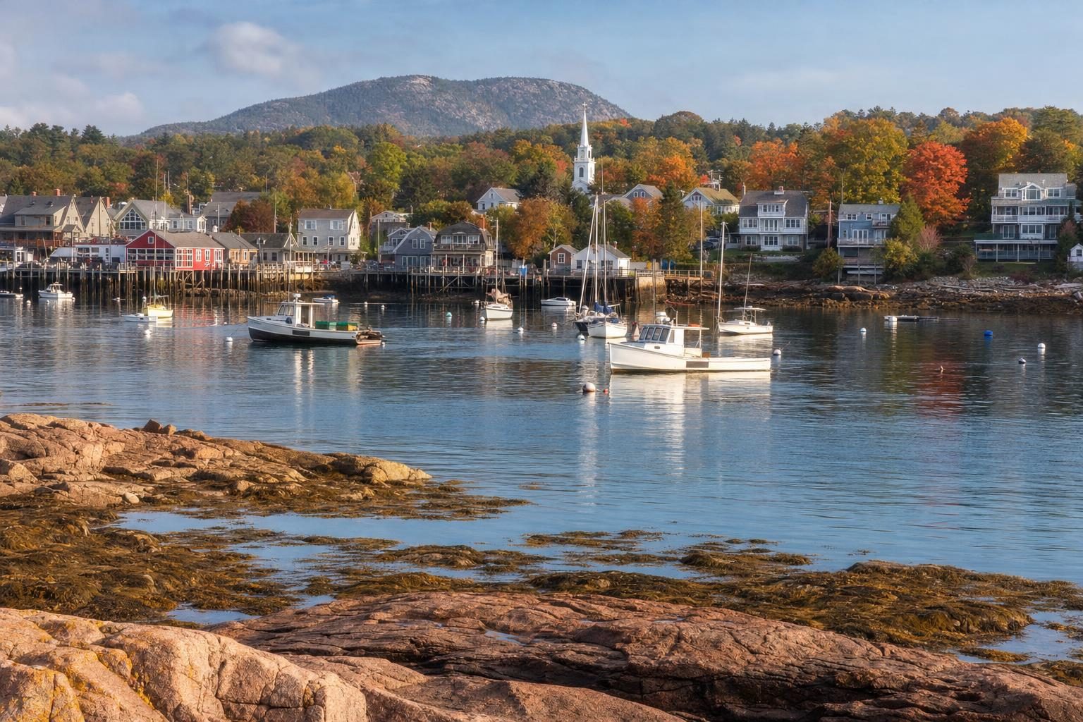
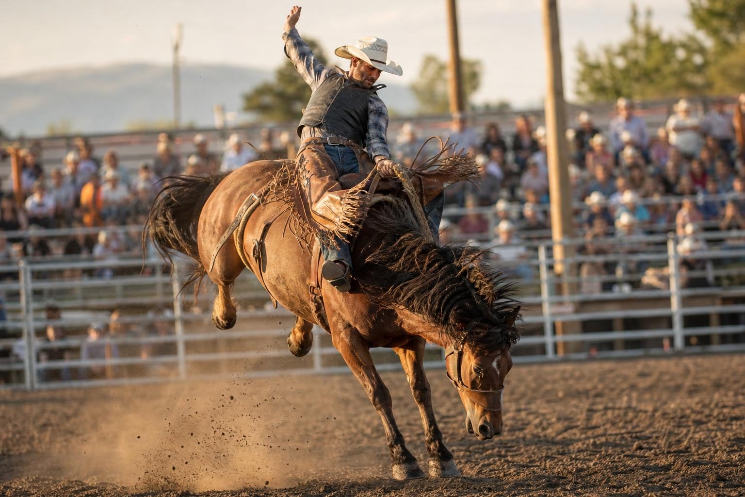
For the different kind of American road that leads into the wild, see the story of Chris McCandless, whose travels took him across the West in the early 1990s. The cowboy traditions that still shape the plains are on show each July at Cheyenne Frontier Days, and at the opposite corner of the country, the coastal town in a snapshot of Bar Harbor, Maine is about as far from Route 66 in spirit as it is in miles.
Planning a Route 66 road trip is mostly a matter of choosing a direction and a pace. Westbound is the classic way, with the desert and the ocean saved for the end, and rental companies offer one-way hire between Chicago and Los Angeles at a price. Many of the old motels take bookings only by phone, and small-town museums keep short hours outside the summer, so it helps to check ahead rather than rely on arriving at the door.
For anyone planning the drive, allow at least two weeks if time permits, travel west in late spring or early autumn to avoid the worst of the desert heat, and buy a burger on the pier before turning around. There is always time for that.
Questions before you go
Where does Route 66 start and end?
Route 66 begins in downtown Chicago, where a Begin sign stands on Adams Street near the Art Institute, and ends at the Pacific in Santa Monica, California. The traditional finish is the End of the Trail sign on the Santa Monica Pier.
How long is Route 66?
The road was roughly 2,400 miles (about 3,900 kilometres) long at its greatest extent. The exact figure depends on the alignment, because the route was moved and straightened several times between the 1920s and the 1970s.
Which states does Route 66 cross?
Eight: Illinois, Missouri, Kansas, Oklahoma, Texas, New Mexico, Arizona and California. Kansas has the shortest section, only around 13 miles across its south-east corner.
Is Route 66 still a highway?
No. Route 66 was established in 1926 and removed from the US highway system in 1985, after interstates had replaced it. Long stretches survive as local roads, state highways and frontage roads, and many are signed as Historic Route 66.
How long does it take to drive Route 66?
Driving it in five days is possible but rushed, with little time to stop. Two weeks is a more comfortable pace for following the old alignments, visiting museums and spending evenings in the small towns.
Why is Route 66 called the Mother Road?
The name comes from John Steinbeck's 1939 novel The Grapes of Wrath, in which the highway carries families fleeing the Dust Bowl towards California. Steinbeck called it the mother road, the road of flight.
What is the best time of year to drive Route 66?
Late spring and early autumn are the most comfortable seasons. Summer brings extreme heat in the Mojave Desert and parts of Arizona, and winter can bring snow on the high plateau around Flagstaff.
Is there a national park on Route 66?
Petrified Forest National Park in Arizona is the only national park that the old road passes through. The Grand Canyon's South Rim is a popular detour of about an hour north from Williams or Flagstaff.
What is the Cadillac Ranch?
Cadillac Ranch is a public art installation west of Amarillo, Texas, created in 1974 by the art group Ant Farm. Ten old Cadillacs are buried nose-first in a field, and visitors are encouraged to add spray paint.