New Zealand · Into the wild
The Magnetism of Fiordland: The Hollyford Valley to Martins Bay
The Hollyford is the one big Fiordland valley that runs all the way to the open sea. Walking it means passing a vanished town, a drowned drover's river crossing and a beach where seal pups sleep in rock pools.
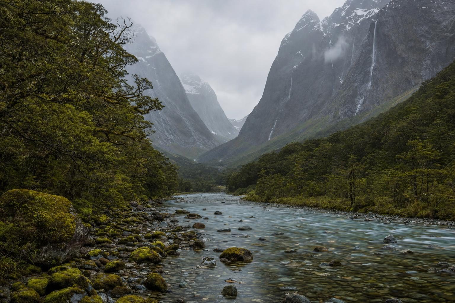
At Marian Corner, 87 kilometres out of Te Anau, most traffic on the Milford Road keeps climbing towards the Homer Tunnel and the cruise boats on Milford Sound. A smaller gravel road turns off to the right and follows the Hollyford River downstream. It ends in beech forest beside a footbridge. From there the only ways onward are on foot, by boat or by air, and the valley runs for more than 50 kilometres to the Tasman Sea. This is the Fiordland that most visitors drive past.
The road they are on was a long time coming. Work on the Homer Tunnel, which carries the Milford Road through the Darran Mountains, began in the 1930s with picks and wheelbarrows, and the tunnel did not open to traffic until 1954. Before that the Hollyford was reached on foot or horseback over the passes, or by sea, and the valley’s few settlers lived with that isolation for generations.
Fiordland National Park covers more than 1.2 million hectares of the south-western corner of the South Island, the largest national park in New Zealand and part of the Te Wāhipounamu World Heritage Area. Most of it is roadless. The fiords are drowned glacial valleys, and the Hollyford is the great exception, a glacier-carved trough that never flooded and still carries its river all the way out to an open beach.
Plan your visit
- Distance
- The first section, road end to Hidden Falls: nine kilometres, two to three hours More
- Base
- Six Department of Conservation huts, all booked ahead; guided walks use lodges at Pyke and Martins Bay More
- Duration
- Walking back up the valley from Martins Bay takes four or five days More
- Getting around
- Out of Martins Bay on foot, or by plane or helicopter More
Into Fiordland: the road end to Hidden Falls
The Hollyford Track begins on the flat. For the first nine kilometres, two to three hours of walking, the path keeps close to the river through red and silver beech, with moss on every surface and the water so clear the stones on the bottom look dry. Swing bridges cross the side streams.
Hidden Falls Hut stands near the point where Hidden Falls Creek tumbles into the main valley. It was near here, on Christmas Day 1955, that the valley’s best-known figure died. Davey Gunn had taken up cattle runs in the Hollyford in the 1920s, cutting tracks and building huts, and from 1936 he guided walking parties down the valley alongside his musters. That Christmas his horse stumbled while fording the river near Hidden Falls. Gunn and a 12-year-old boy riding behind him were swept away. His body was never found.
Little Homer Saddle and the Darran Mountains
Beyond Hidden Falls the track climbs for the only time in any serious way, over Little Homer Saddle, a low forested rise. Through gaps in the trees the Darran Mountains show to the east, granite and gneiss peaks hung with ice, and the highest of them, Mount Tūtoko, at more than 2,700 metres the summit of Fiordland.
The mountain carries the name of a man who lived at Martins Bay when European prospectors pushed down the valley in the 1860s. Māori had long used the region: the coast was a source of food, and the valleys lay on routes connected to pounamu, the greenstone prized across the country. By the time the first Europeans arrived, only a handful of people remained at Martins Bay. Tūtoko and his family were among them, and the accounts of the prospectors record them as helpful hosts, lending a canoe to men searching the lower river for gold that did not exist in useful amounts.
Past the saddle the track drops to Lake Alabaster, also called Waiwahuika, a long lake ringed with forest. Its still mornings, mist low on the water and the hills reflected upside down, are the reason many walkers remember it.
The Pyke and the Demon Trail
A short backtrack from Lake Alabaster Hut leads to the swing bridge over the Pyke River. Beyond it the track changes character. The Demon Trail follows the eastern shore of Lake McKerrow for most of its length, and the Department of Conservation keeps it to a lower standard than the rest. It was originally a cattle track, rocky and up-and-down, crossing side streams on three-wire bridges and getting muddy after rain. In heavy weather some creek crossings become dangerous, and walkers wait them out.
Guided parties have often skipped this section by jet boat, running down the river and along the lake. Independent walkers earn the views the hard way.
Jamestown, the capital that never was
Halfway along Lake McKerrow the track passes a quiet bay. There is little to see now beyond a clearing and a sign. In the years around 1870 this was Jamestown, a surveyed township backed by the Otago Provincial Council, which hoped to turn Martins Bay into a West Coast port for the province. Streets were marked out and several houses went up.
It failed for reasons that are obvious from the shore. No road linked the settlement to the rest of Otago. The bar at the mouth of the Hollyford was treacherous, and supply ships that were supposed to call either could not cross it or did not come. Settlers who had cleared land and planted gardens went hungry while they waited. By 1879, roughly a decade after it began, the town was practically empty. The forest has since taken back almost everything.
What grows along the way
The Hollyford is a good place to learn the plants that Māori relied on, because many of them grow right beside the track. Harakeke, New Zealand flax, crowds the river flats and the edges of Martins Bay. Its long leaves were stripped and processed into fibre for clothing, rope, mats and baskets, and the clear gel at the base of the leaves has long been used on burns and cuts. Tī kōuka, the cabbage tree, often marks old campsites; its root was cooked in earth ovens for its sugar. Koromiko, a native hebe, has soft leaves that were used as a remedy for stomach complaints.
Towards the coast the forest changes, with rimu, kahikatea, tōtara and rātā rising above the beech in the lower valley. It is wet country. Fiordland is one of the rainiest places in New Zealand, and after a heavy night the cliffs of the Hollyford sprout waterfalls that were not there the evening before, then lose them again within a day of clear weather.
Rain is the price of the forest.
A long run for help
The coast north of Martins Bay produced the valley’s most famous act. On 30 December 1936 a de Havilland Fox Moth carrying a pilot and five passengers crashed into the sea at Big Bay. One passenger died soon after. Davey Gunn was there, and he set out for help, covering roughly 90 kilometres by foot, rowing boat and horse to reach Marian Corner and a telephone in about 21 hours. The trip normally took four days. He was awarded the King George VI Coronation Medal the following year, and Mount Gunn in the valley carries his name.
Martins Bay and the open coast
The last stretch, from Hokuri Hut to Martins Bay, is about 13 kilometres and four to five hours, and it ends with the sound of surf long before the sea comes into view. The Hollyford spills into the Tasman here across a wide river mouth, with the beach running away north under dark headlands.
Long Reef, at the northern end of the bay, holds a colony of fur seals. The pups use the sheltered rock pools while the adults are at sea, and they can be watched from a distance without disturbing them. Between July and November, tawaki, the Fiordland crested penguin, come ashore along this coast to breed in the forest margins. Herons work the river mouth, and dolphins sometimes appear offshore.
Older human traces lie in the dunes: fireplaces, ovens and shell middens left by the people who lived and fished here for generations. The Department of Conservation asks visitors to leave anything they find exactly where it is.
One small thing about the sandflies. In a Ngāi Tahu story, the god who carved the fiords, Tū-te-raki-whānoa, made them so beautiful that people would want to stay forever, and Hinenuitepō, guardian of the underworld, released the namu, the sandflies, to keep them moving. Anyone who has stood still on the beach at Martins Bay at dusk will not argue with her method.
Leaving the Hollyford
Martins Bay Hut, near the river mouth, is the end of the Hollyford Track for most walkers. The options from there are to walk back up the valley, which takes four or five days, or to arrange a flight out by plane or helicopter. Flights south along the coast pass over the mouths of the fiords and up the length of Milford Sound, where Mitre Peak rises 1,692 metres from the water.
For those who prefer company and comfort, a Ngāi Tahu-owned operator has run guided walks on the track since 2003, using lodges at Pyke and Martins Bay, which were renamed Ka Tuku and Waitai in 2023. Independent walkers use the six Department of Conservation huts along the route, all of which must be booked ahead.
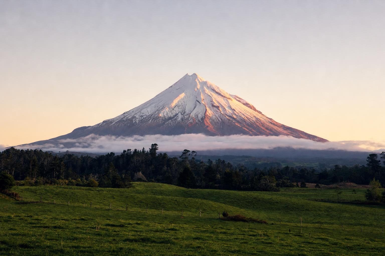
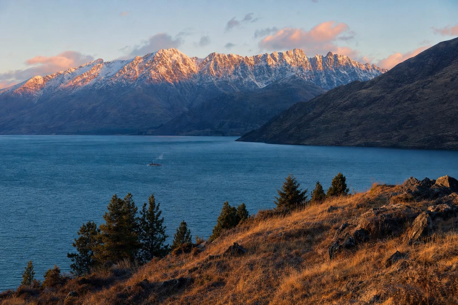
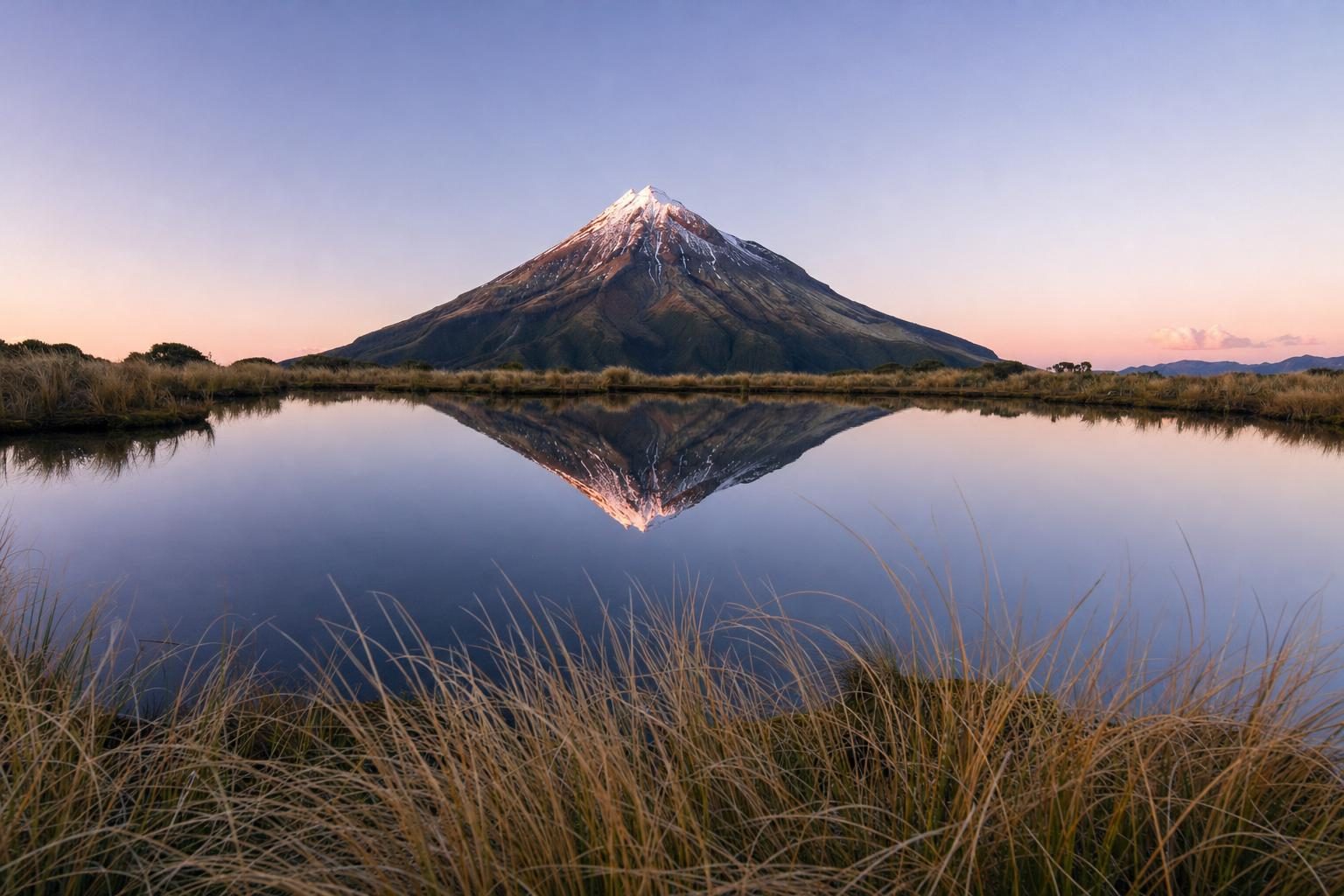
Fiordland sits at the far end of a long chain of South Island attractions. The glass houses and bungy bridges of Queenstown and Lake Wakatipu lie two hours north-east of Te Anau. In the North Island, a very different volcanic walk crosses from Taranaki to its neighbouring range on the Pouakai Crossing, and the mountains themselves star in the Māori legend of Taranaki and Tongariro.
Check conditions with the Fiordland National Park Visitor Centre in Te Anau before setting out, because heavy rain can close sections of the Hollyford Track for a day or more. Then pack the insect repellent where it can be reached without taking the bag off.
Questions before you go
Where is the Hollyford Track in Fiordland?
The Hollyford Track starts at the end of the Lower Hollyford Road, which leaves the Milford Road at Marian Corner, about 87 kilometres from Te Anau. It follows the Hollyford River and Lake McKerrow north to Martins Bay on the Tasman Sea coast, north of Milford Sound.
How long is the Hollyford Track?
The full track is about 56 kilometres one way and is usually walked over four to five days. It has no alpine sections, so it can be walked year-round, but heavy rain can make streams and the Demon Trail section impassable.
Is there a guided option on the Hollyford Track?
A Ngāi Tahu-owned operator has run guided walks on the Hollyford since 2003, using private lodges at Pyke and Martins Bay, renamed Ka Tuku and Waitai in 2023. These trips have combined walking with jet-boat and helicopter sections. Independent walkers use Department of Conservation huts instead.
What was Jamestown?
Jamestown was a planned settlement on the shore of Lake McKerrow, surveyed around 1870 with backing from the Otago Provincial Council as a future port. Without road links and with a dangerous bar at the river mouth, supply ships often failed to arrive. It was practically deserted by 1879.
Who was Davey Gunn?
Davey Gunn was a cattle farmer who took up land in the Hollyford Valley in the 1920s and guided tramping parties from 1936. In December 1936 he covered about 90 kilometres in 21 hours to get help after a plane crash at Big Bay, earning a Coronation Medal. He drowned crossing the Hollyford River on Christmas Day 1955.
Can you see penguins at Martins Bay?
Between July and November, tawaki, the Fiordland crested penguin, can sometimes be seen near the coast around Martins Bay, along with fur seals. Herons and occasionally dolphins also appear. Keep a good distance from the animals and their breeding sites.
How big is Fiordland National Park?
Fiordland National Park covers more than 1.2 million hectares and is the largest national park in New Zealand. It was formally created in 1952 and forms part of the Te Wāhipounamu South West New Zealand World Heritage Area, listed in 1990.
What is the highest mountain in Fiordland?
Mount Tūtoko, in the Darran Mountains above the Hollyford Valley, is the highest peak in Fiordland at more than 2,700 metres. It is named after Tūtoko, a Māori man who lived at Martins Bay when European prospectors arrived in the 1860s.
When is the best time to walk the Hollyford Track?
The track is open all year. Late summer and autumn often bring more settled weather and fewer people, while winter and spring are quieter still but colder. Rain is frequent at any time of year in Fiordland, so waterproof gear is essential.
Are there sandflies on the Hollyford Track?
Yes, especially at Martins Bay and near water. Sandflies, namu in Māori, are a constant presence in western Fiordland. Long sleeves, trousers and insect repellent make the evenings far more pleasant.