India · Story
Arunachal Pradesh: Over the Sela Pass to Tawang and the Monpa Valleys
The road from the plains of Assam climbs for two days to Tawang, through army camps, monastery towns and a pass above 4,000 metres. Along the way, every bend seems to come with a story that nobody can quite prove.
At the Bhalukpong check gate on the Assam border, the temperature on a spring afternoon can sit above 30 degrees, and the trucks queue in the heat while permits are checked. Two days later the same road reaches Tawang at around 3,000 metres, where fires are lit in the evening and the air smells of juniper smoke. In between lies the western edge of Arunachal Pradesh: a run of monastery towns, army camps, terraced slopes and one high pass, each with its own disputed history.
Arunachal Pradesh is India’s easternmost state, wedged between Bhutan, Tibet and Myanmar. Its name is usually translated as land of the dawn-lit mountains. It is also one of the most restricted parts of India for visitors. China claims much of the state, a war was fought over it in 1962, and the soldiers and checkpoints along this road are a constant reminder that the border is still unsettled. The trip north to Tawang is therefore two things at once, a passage through a Tibetan Buddhist culture and a drive through a militarised frontier.
Plan your visit
- Tickets
- Inner Line Permit for Indian citizens; Protected Area Permit via approved operators for foreigners More
- Getting there
- By road from Guwahati or Tezpur, crossing at Bhalukpong; Tawang on the second day More
- Season
- March to May and October to November; monsoon landslides from June to September More
- Base
- A night at Dirang or Bomdila on the way up helps with the altitude More
Arunachal Pradesh permits before the first bend
Nobody reaches Arunachal Pradesh by accident.
The permit rules have changed several times over the years, and anyone planning a trip should check them with the state tourism department shortly before travelling. The basic structure looks like this:
- Indian citizens from outside the state need an Inner Line Permit. It can be applied for online through the state government’s e-ILP portal, and the short tourist permit can be extended if a longer stay is planned.
- Foreign nationals need a Protected Area Permit. The state tourism department says applications go through approved local tour operators, and that foreign visitors pay a royalty of USD 30 per person; permits can also be issued by the Ministry of Home Affairs and the state’s offices in New Delhi and Itanagar.
- Some areas close to the Line of Actual Control need extra clearance on the spot, and checkpoints may turn back vehicles on roads that are temporarily closed.
The Arunachal Pradesh tourism department publishes the current rules for both permits. Travelling with a registered local operator remains the simplest route for foreign visitors.
Rupa and Bomdila: the first monasteries
The first stretch beyond Bhalukpong climbs through forest into the West Kameng district. Rupa is a small town of the Sherdukpen people, one of the smaller Buddhist communities of the region, and a large roadside image of Guru Padmasambhava announces its importance. Padmasambhava, known locally as Guru Rinpoche, is credited with bringing Tantric Buddhism across the Himalaya in the eighth century, and his figure appears in murals and statues all the way to Tawang.
Bomdila is the district headquarters and the first real hill town on the route, its houses stepping down a steep slope towards the valley. The town was overrun during the 1962 war, when Chinese forces pushed south past the Sela Pass and down towards the plains before declaring a ceasefire and withdrawing. Bomdila’s monastery, the Gontse Gaden Rabgye Ling, was established in the 1960s and is a good first look at the Gelug-style prayer halls that line the rest of the road.
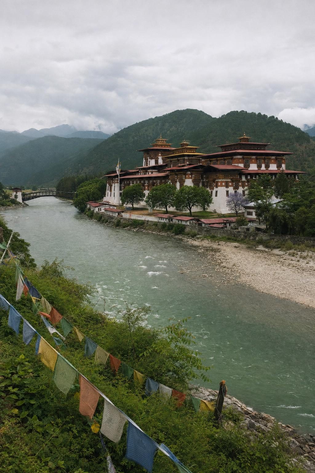
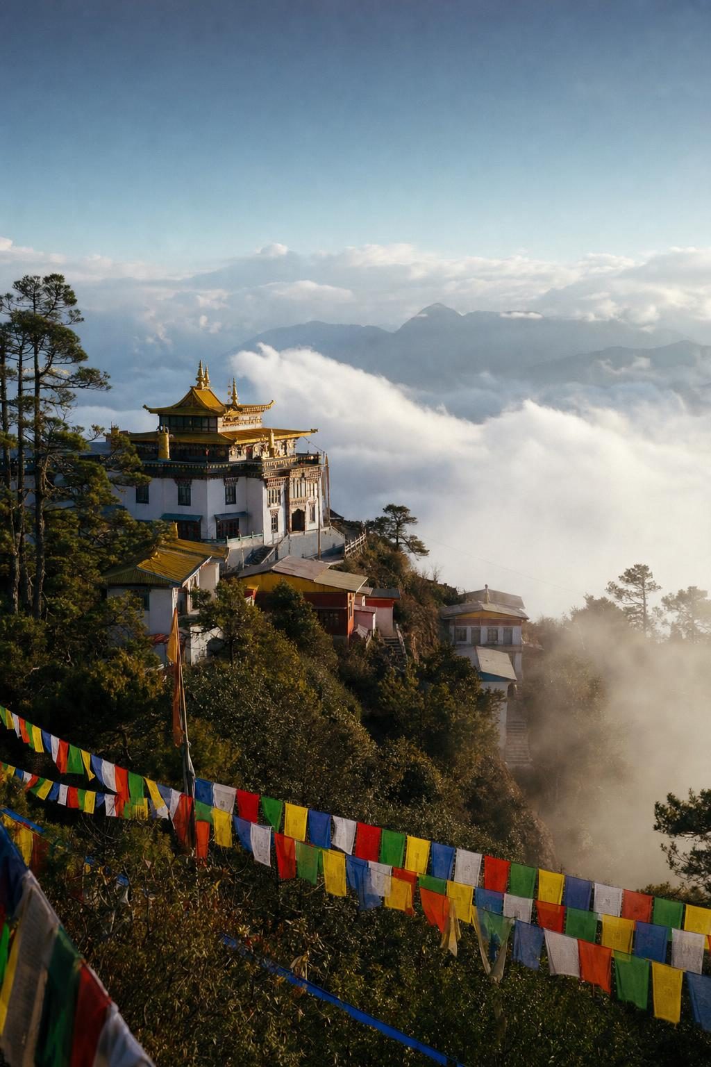
Prayer flags are strung across every spur and bridge from here onwards. They are printed with prayers and mantras that, by tradition, are carried off by the wind, and they fade from bright primary colours to grey rags over a season or two before being replaced.
Dirang and the Monpa valleys
Below Bomdila the road drops to the Dirang valley, warmer, greener and lower than the towns on either side. This is Monpa country. The Monpa are the main ethnic group of the Tawang and West Kameng districts, Tibetan Buddhists whose languages are related to Tibetan and to the dialects of eastern Bhutan. Traditional Monpa houses are built of stone or of mud on bamboo frames, with carved wooden windows and roofs of bamboo matting or slate.
Dirang has an old fortified village, Dirang Dzong, with stone houses packed tight inside its walls, and a set of hot springs used by locals as a cure for aches and complaints. Monasteries of both the Gelug and the older Nyingma schools stand on the hills around it. In the evening, rice beer and a distilled spirit called ara are part of ordinary hospitality, and a visitor is likely to be offered a cup before being offered a chair.
The Monpa are also known for crafts. Handmade paper is still produced from the bark of a local shrub in a few villages, traditionally used for Buddhist manuscripts and prayer flags, and wooden masks for monastery dances are carved in workshops around Tawang.
Over the Sela Pass
From Dirang the road climbs hard. Within a few hours it rises nearly two kilometres, through rhododendron forest and then above the tree line, to the Sela Pass at about 4,170 metres. Snow lies here for much of the winter, and travellers arriving from the hot plains are routinely caught out by the cold. Tea stalls run by Tibetan and Monpa families near the top sell hot drinks and noodles to frozen drivers.
On the north side of the pass lies Sela Lake, which often freezes in winter and is grazed by yaks in summer. It is one of many lakes in the Tawang area regarded as sacred in Tibetan Buddhism. In March 2024 the Sela Tunnel opened below the pass, giving the region an all-weather road to the rest of India for the first time. The project was built by the Border Roads Organisation, whose units in this region work under the name Project Vartak, and it is part of a much larger push to improve roads along the frontier.
The pass carries a story that people tell differently depending on who is telling it. During the 1962 war, Jaswant Singh Rawat, a soldier of the Garhwal Rifles, is said to have held a position near here against advancing Chinese troops for about three days. Local tradition says two Monpa girls, Sela and Nura, helped him by bringing food and supplies. Sela was killed, Nura was captured, and Rawat died when the position was finally overrun. He was awarded the Maha Vir Chakra after his death. The pass and lake are named after Sela, and the Nuranang Falls further down the road after Nura.
The memorial at Jaswantgarh, just beyond the pass, is maintained by the Indian Army. Soldiers there still tend his quarters as if he might return, and visiting drivers stop for tea served free to passers-by. The official plaques tell the soldier’s story; the role of the two women is mostly carried by word of mouth.
Tawang and its monastery
Tawang town sits on a ridge at about 3,000 metres, and the monastery above it fills the skyline. Tawang Monastery, or Gaden Namgyal Lhatse, was founded in 1680 to 1681 by Merak Lama Lodre Gyatso, at the wish of the 5th Dalai Lama. It belongs to the Gelug school and is the largest Buddhist monastery in India, a walled complex of 65 residential buildings around a central prayer hall. Several hundred monks live there.
The main assembly hall, the Dukhang, holds a gilded statue of the Buddha about five and a half metres tall. The library preserves volumes of the Kangyur and Tengyur, the Tibetan Buddhist canon, some written in gold lettering. Three days of masked dances, the Torgya festival, take place in the courtyard each winter to drive away misfortune before the new year, and Losar, the Tibetan new year, follows soon after.
Tawang has played a part in modern Tibetan history twice. The 6th Dalai Lama, Tsangyang Gyatso, was born in 1683 near Tawang, and the small monastery of Urgelling marks the place. In 1959 the 14th Dalai Lama crossed into India through this region on his escape from Tibet and stayed briefly at Tawang. For many Tibetans in exile, the town carries the weight of that crossing.
A side-track worth taking from Tawang is the road north towards the Bum La area and the high lakes. Pankang Teng Tso, usually shortened to PTSO Lake, lies at over 4,000 metres and is a favourite picnic spot for local families in summer. Further on, Sangetsar Lake formed when an earthquake in 1950 dammed a stream and drowned a forest, leaving the dead trunks standing in the water. It became famous across India after a Bollywood film was shot there in the 1990s, and many visitors still call it Madhuri Lake after the actress who starred in it. Access depends on army permission and road conditions on the day.
North to Zemithang and the Gorsam stupa
The longest and quietest day trip from Tawang heads roughly 90 kilometres northwest to Zemithang, in the Pangchen valley close to the borders with Bhutan and Tibet. The road follows deep river gorges past villages perched high above the valley floor. Zemithang means something like sandy valley, and in spring the lower fields are bright with barley and wheat.
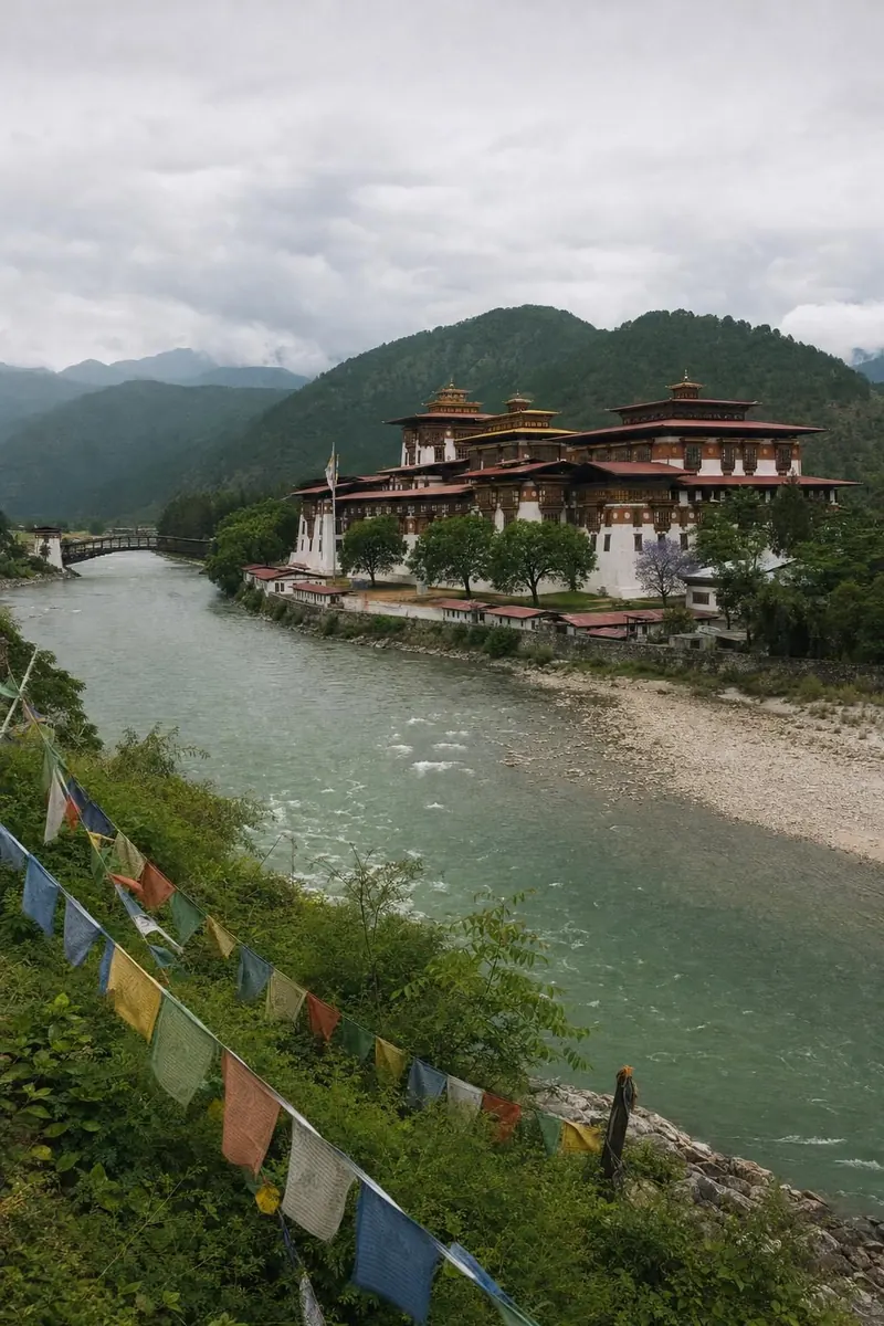
Near the village stands the Gorsam Chorten, a white stupa about 28 metres high that dominates the valley floor. Local tradition says it was built by a monk called Lama Pradhar on the model of the great Boudhanath stupa in Kathmandu, though the dates given for its construction vary widely, from the twelfth to the eighteenth century. Each spring the Gorsam Kora festival brings pilgrims from both sides of the border, since the stupa is closely linked with Chorten Kora in eastern Bhutan.
The Pangchen people of the valley speak of their homeland as a beyul, one of the hidden valleys that Padmasambhava is said to have set aside as sanctuaries. Stories of serpent spirits in mountain lakes, of a demon queen’s stone throne in the forest, and of lamas who bring rain with a ceremony are part of everyday conversation here. Nobody expects a visitor to believe them. Nobody seems to mind if they do.
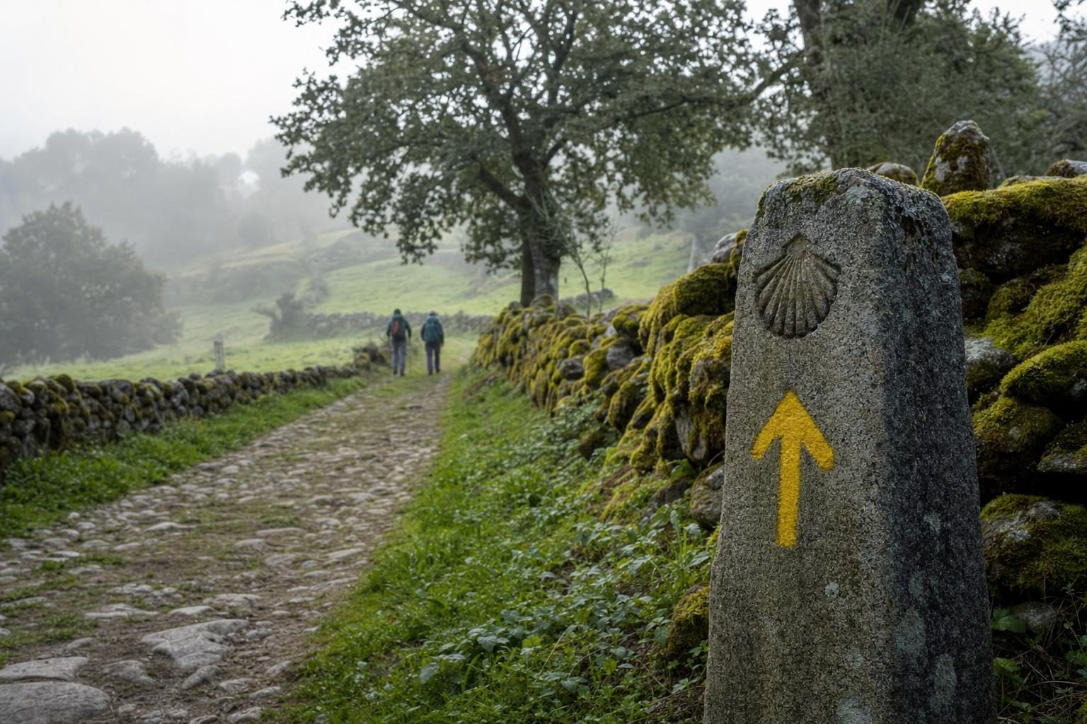
The valleys and the culture around Zemithang have much in common with the valleys across the border, described in this story on Bhutan’s Himalayan harmony. Further southeast along the same mountain arc lie the Chin Hills of Myanmar, whose very different recent history is told in the story of Myanmar’s Chin State. And the long tradition of walking to sacred places, from Tibetan koras to European routes, is traced in the history of pilgrimage.
Getting there and timing the trip
The usual approach is by road from Guwahati or from Tezpur in Assam, crossing into Arunachal Pradesh at Bhalukpong. Most travellers break the trip at Dirang or Bomdila and reach Tawang on the second day. Shared jeeps run between the main towns, and hired cars with drivers are the more comfortable option. Tawang has a helipad with occasional services, but the road remains the main link.
The best months are March to May and October to November, when skies are clearer and the roads are most reliable. Winter brings snow and occasional closures on the high roads. The monsoon, from June to September, brings landslides that can block the route for hours or days.
Altitude matters. Tawang is about 3,000 metres up and the Sela Pass is well above 4,000, so a night at Dirang on the way up helps. On the return, the drop from the pass to the warm Dirang valley comes quickly, and so does the urge to stop at one of the roadside stalls below the tree line for a bowl of thukpa noodle soup.
Questions before you go
Is a permit needed to visit Arunachal Pradesh?
Yes. Indian citizens from outside the state need an Inner Line Permit, which can be applied for online through the state's e-ILP portal. Foreign nationals need a Protected Area Permit, usually arranged through an approved local tour operator, with a royalty of around USD 30 per person charged by the state.
How high is the Sela Pass?
The Sela Pass is about 4,170 metres above sea level on the road between Dirang and Tawang. Since March 2024 the Sela Tunnel has offered an all-weather route below the pass, though the old road over the top is still used in good weather.
When was Tawang Monastery founded?
Tawang Monastery was founded in 1680 to 1681 by Merak Lama Lodre Gyatso, in line with the wishes of the 5th Dalai Lama. It belongs to the Gelug school and is the largest Buddhist monastery in India.
Who are the Monpa?
The Monpa are the main ethnic group of the Tawang and West Kameng districts. They follow Tibetan Buddhism, speak languages related to Tibetan and Bhutanese dialects, and are known for their weaving, woodcarving and handmade paper.
What is the story of Jaswantgarh?
Jaswantgarh is a war memorial near the Sela Pass honouring Jaswant Singh Rawat, an Indian soldier who held a position against Chinese forces during the 1962 war and was killed there. He received the Maha Vir Chakra posthumously. Local legend links two Monpa girls, Sela and Nura, to his last stand.
How far is Zemithang from Tawang?
Zemithang lies roughly 90 kilometres northwest of Tawang by road, close to the borders with Bhutan and Tibet. The drive takes most of a day each way through deep river valleys.
What is the Gorsam Chorten?
Gorsam Chorten is a large white stupa near Zemithang, about 28 metres tall, said to be modelled on the Boudhanath stupa in Kathmandu. A festival called Gorsam Kora is held there each spring and draws pilgrims from both India and Bhutan.
When is the best time to visit Tawang?
March to May and October to November usually bring the clearest weather. Winter brings snow on the Sela Pass and the high lakes, and the monsoon months from June to September bring landslides on the mountain roads.
Where does the name Arunachal come from?
Arunachal is usually translated as land of the dawn-lit mountains, from Sanskrit words for dawn and mountain. As India's easternmost state, it is among the first parts of the country to see the sunrise.